Tide's Out Maps
Aldermen Islands, Coromandel Peninsula, New Zealand - Medium
Aldermen Islands, Coromandel Peninsula, New Zealand - Medium
Couldn't load pickup availability
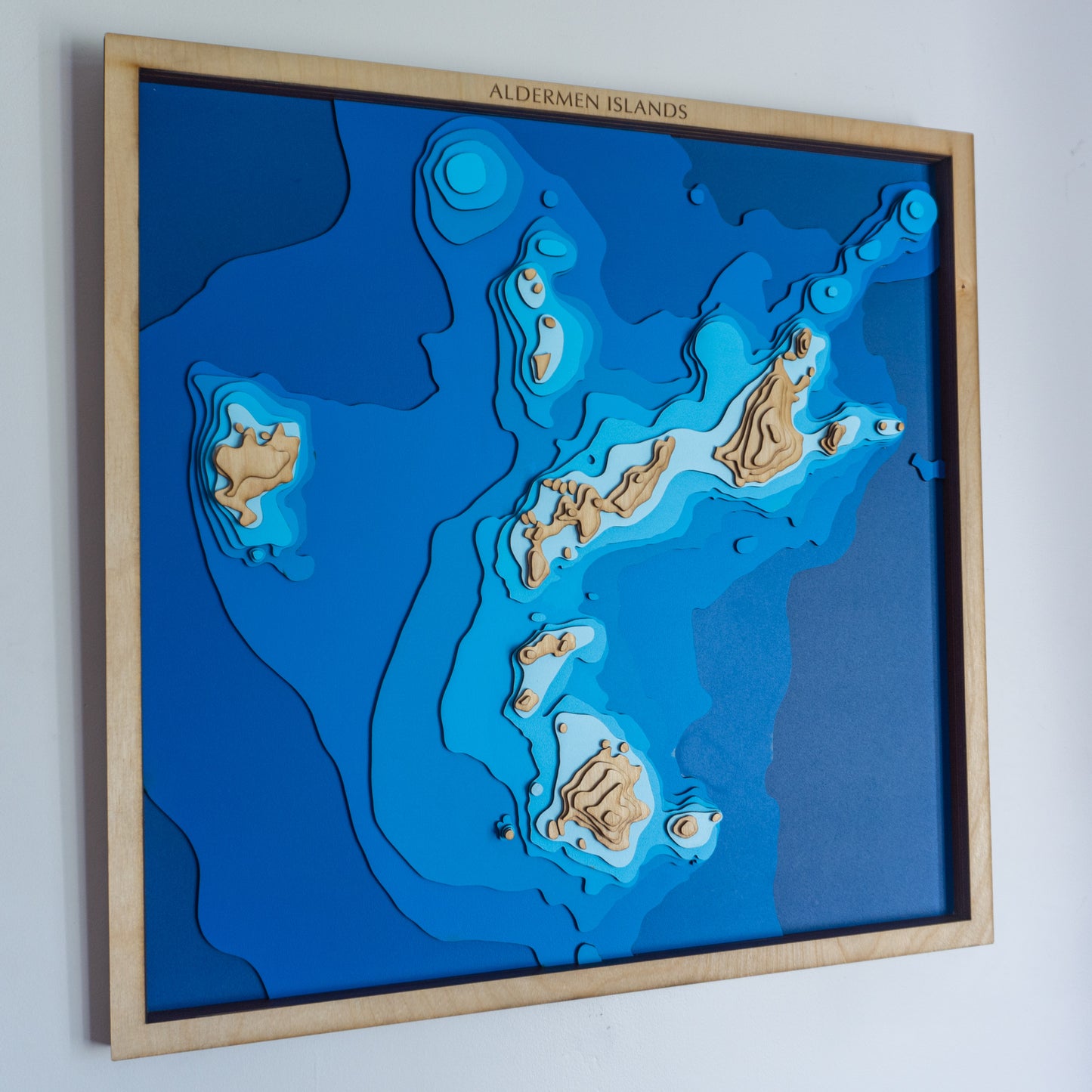
🌊 Aldermen Islands Wooden Ocean Depth Map – A Handcrafted Tribute to One of NZ’s Best Dive Spots
Inspired by the dramatic rocky silhouettes off the eastern Coromandel coast, this handcrafted wooden map of the Aldermen Islands captures the raw beauty of one of New Zealand’s top open-water dive locations. Whether you’ve explored its underwater cliffs or simply admired it from land, this map brings the magic of the Aldies to your wall.
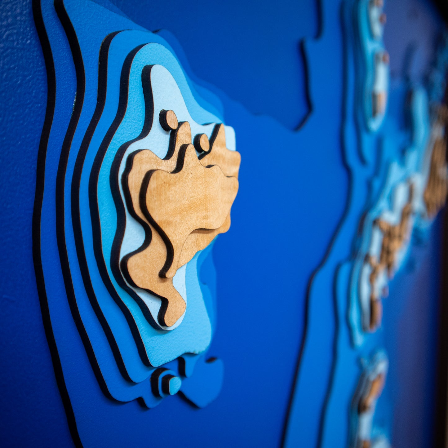
Designed and made in Aotearoa, each layer is laser-cut from high-quality European Birch plywood, then painted and assembled by hand to showcase the steep drop-offs and bathymetry that make these islands so iconic.
🔍 Why People Love This Map:
- A perfect gift for divers, marine explorers, or Coromandel locals
- Highlights the unique underwater topography that makes the Aldies a must-dive
- A beautiful and meaningful wall piece for homes, batches, or coastal cabins
- Proudly handmade in New Zealand with sustainable materials and craftsmanship
📏 Size: 60 x 60 cm
🪵 Material: European Birch Plywood, MDF, Water-based Paint, Timber Oil, PVA Glue
🌊 Depth Layers: Sea level, -4m, -8m, -16m, -24m, -32m, -48m, -64m
🛠️ Made to order – please allow up to 2 weeks for your handcrafted map.
Want to personalise your map with a special note, name, or date? Leave a message at checkout and we’ll be in touch to customise it for you.


