Tide's Out Maps
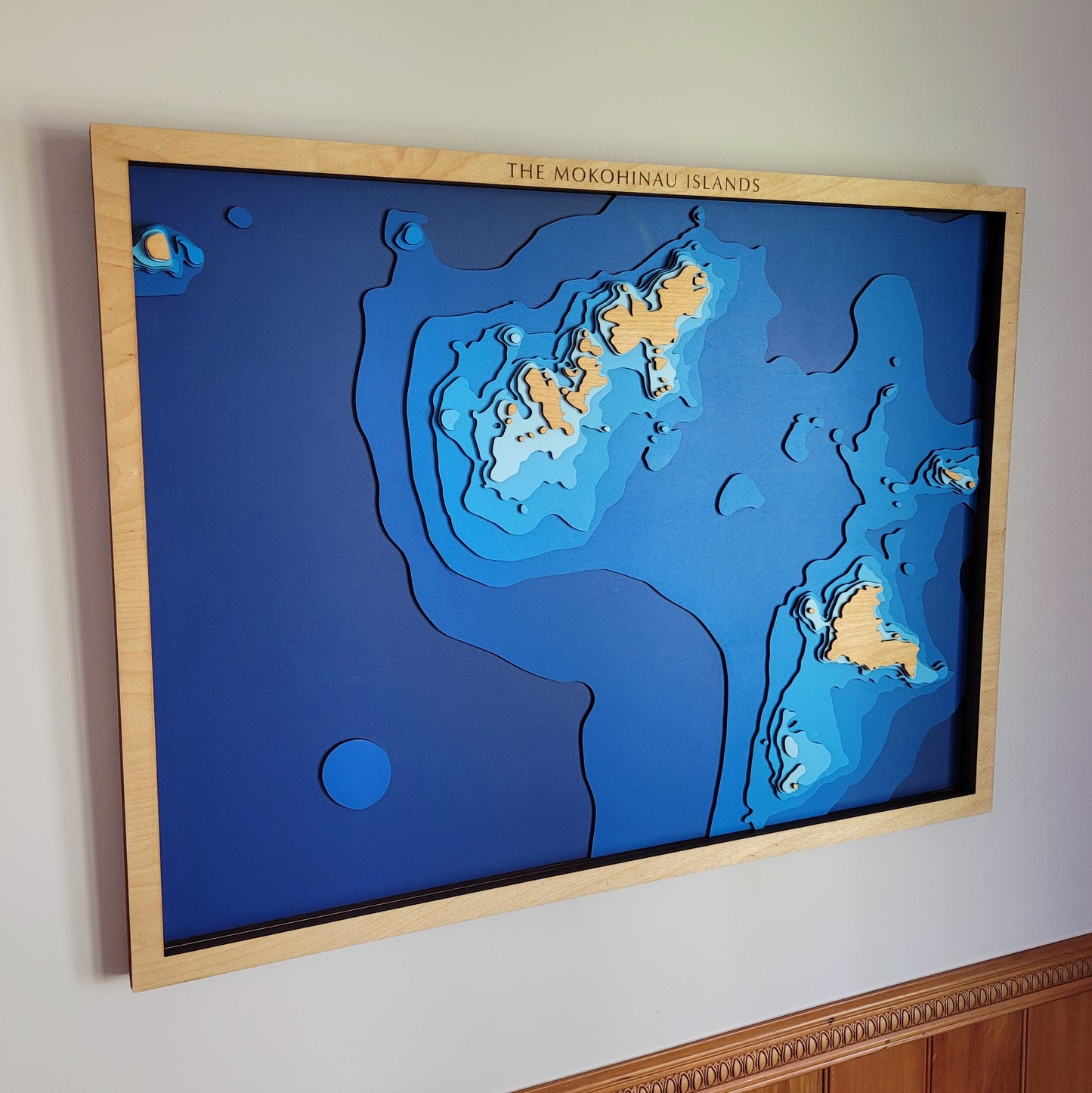
Mokohinau Islands, Auckland Region, New Zealand - Large
Mokohinau Islands, Auckland Region, New Zealand - Large
Couldn't load pickup availability
🏝️ Mokohinau Islands Wooden Depth Map – Remote, Rugged, and Beautiful
This is our handcrafted wooden depth map of the Mokohinau Islands — an isolated group of volcanic islets in the outer Hauraki Gulf, renowned for their rich marine life and striking underwater terrain.
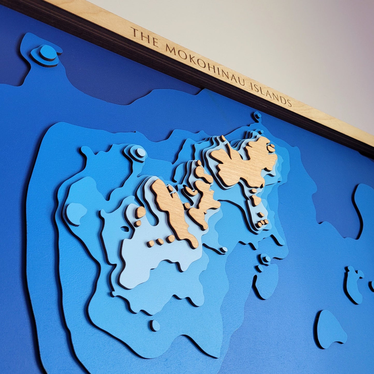
From deep blue channels to steep drop-offs, this piece captures the dramatic seafloor surrounding the Mokohinau group in layered relief. Each contour is laser-cut for accuracy, then hand-painted and assembled in our New Zealand workshop using sustainably sourced European Birch plywood.
An ideal gift for divers, fishers, and those who treasure New Zealand’s remote coastal gems.
🔍 Why You’ll Love It:
-
Showcases the wild beauty of the Mokohinau Islands in detailed layers
-
Made in NZ using sustainable European Birch 3-ply plywood
-
Laser-cut and hand-assembled for depth and definition
-
A striking centrepiece for homes, baches, or offices
-
Customisable with names, places, or special memories
📏 Size: Medium (80 x 60 cm)
🪵 Material: European Birch plywood
🌊 Depth Layers: Sea level, -4m, -20m, -36m, -52m, -68m, -84m, -100m
🛠️ Made to order – please allow up to 2 weeks for us to craft your map by hand.
✍️ Want to personalise your map? Add a note at checkout and we’ll be in touch with customisation options.


