Tide's Out Maps
Hauraki Gulf, New Zealand - XL
Hauraki Gulf, New Zealand - XL
Couldn't load pickup availability
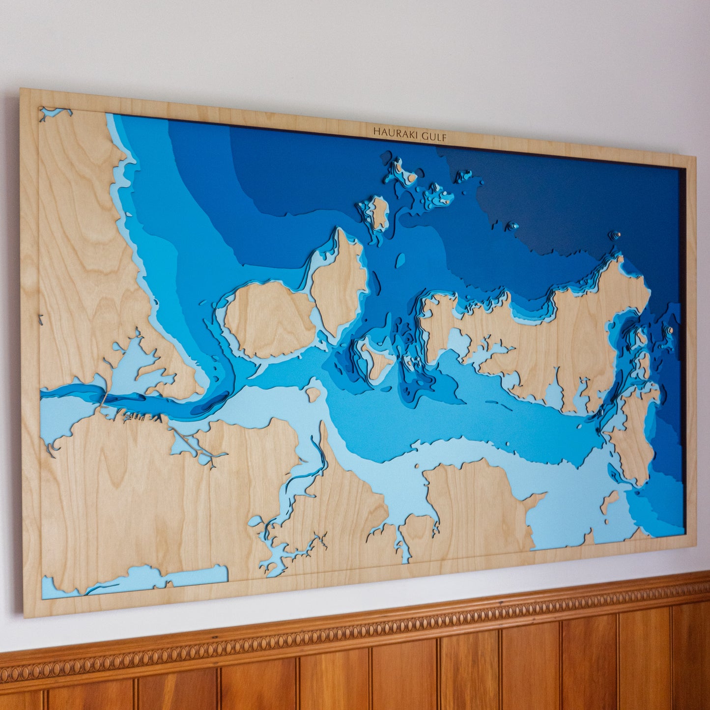
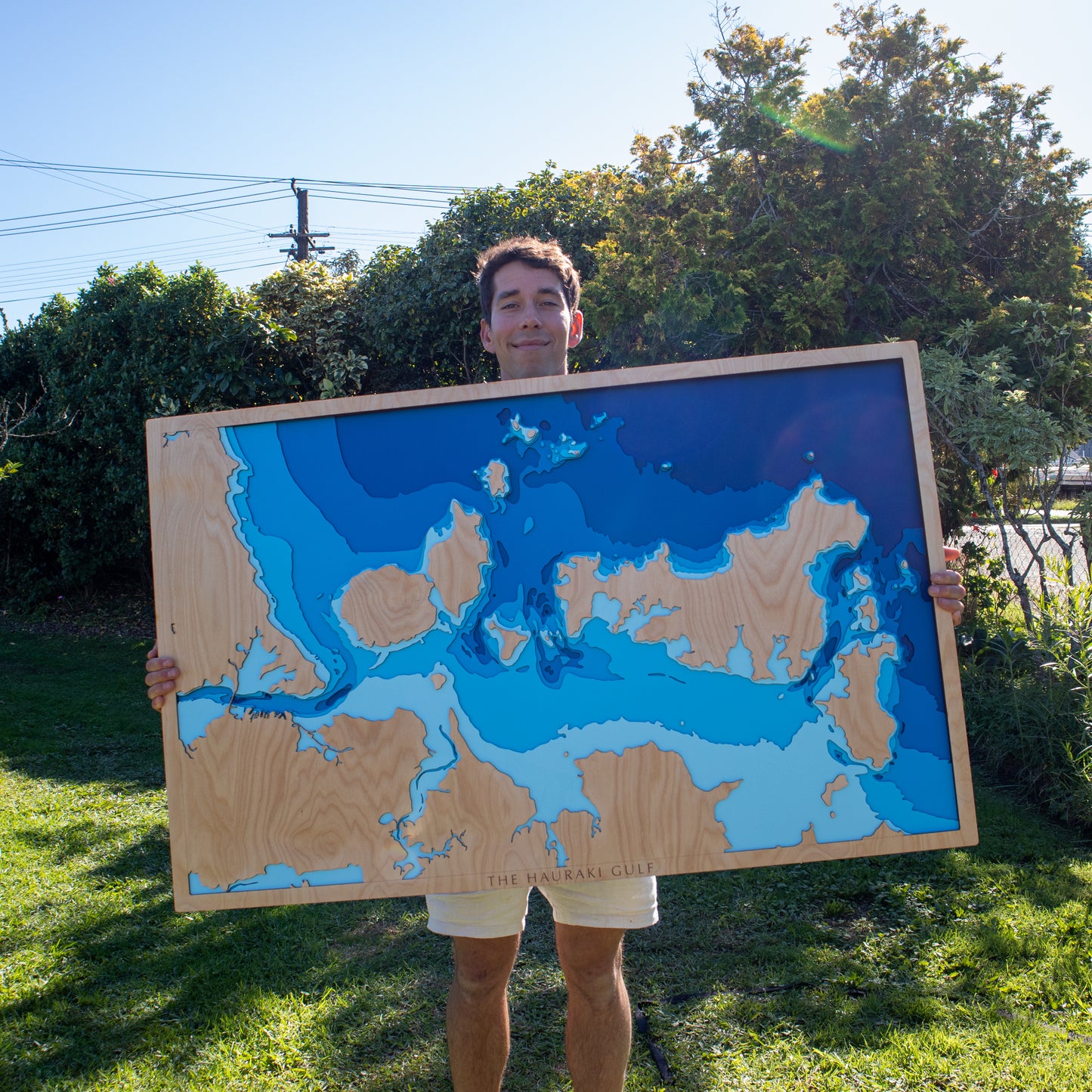
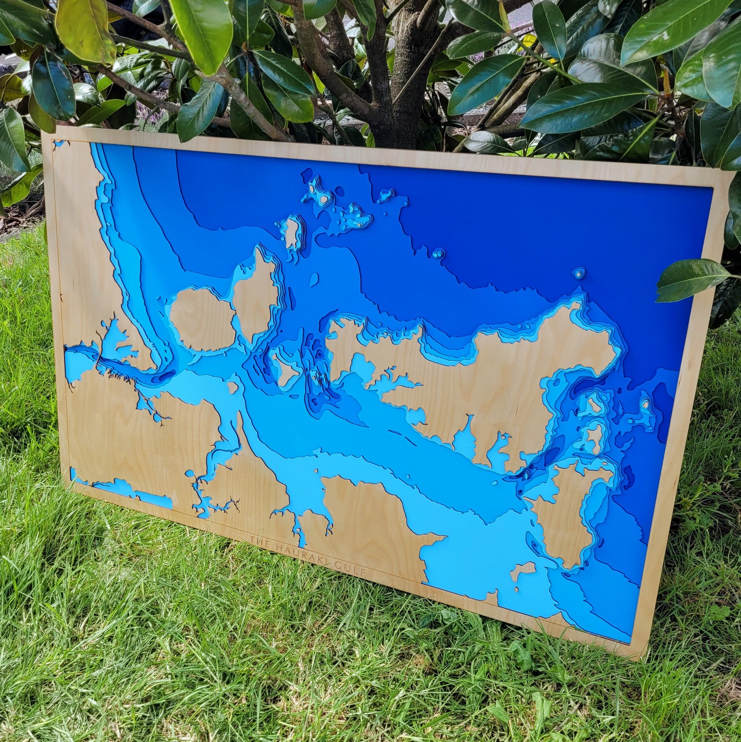
🌊 Hauraki Gulf Wooden Ocean Depth Map – Extra Large (120 x 75 cm)
A Statement Piece Celebrating Auckland’s Iconic Marine Landscape
This extra-large handcrafted wooden map captures the heart of the Hauraki Gulf — a region defined by its sweeping seascapes, vibrant islands, and deep cultural and recreational significance. From Rangitoto and Waiheke to Motutapu, Pōnui, Motuihe, and Tiritiri Matangi, this map celebrates the inner gulf’s most beloved islands in beautiful layered relief.
Designed to be a bold and captivating centrepiece, this map highlights the ocean depths, tidal shelves, and underwater contours that make this part of Aotearoa so unique. Whether it’s your sailing route, summer escape, or backyard view, this piece is a tribute to the water that surrounds Tāmaki Makaurau.
Each layer is laser-cut for precision, hand-painted, and carefully assembled in our New Zealand workshop using sustainable Birch plywood.
🔍 Why People Love This Map:
-
A showstopping piece for homes, offices, lodges, or public spaces
-
Features key islands of the inner Hauraki Gulf: Rangitoto, Waiheke, Tiritiri Matangi & more
-
Bathymetric layers from sea level to -100m reveal the depth and drama of the gulf
-
Sustainably made in NZ using quality Birch and hand-finished with care
-
Optional personalisation available — mark a memory, name, or location
📏 Size: Extra Large (120 x 75 cm)
🪵 Material: Birch plywood
🌊 Depth Layers: Sea level, -5m, -10m, -15m, -20m, -30m, -50m, -100m
🛠️ Made to order – please allow up to 2 weeks for crafting.
📩 Due to its size, we recommend contacting us before purchasing to discuss delivery and display options.
✍️ Want to personalise your map? Leave a note at checkout and we’ll be in touch to make it your own.


