Tide's Out Maps
Banks Peninsula, Canterbury, New Zealand - Small
Banks Peninsula, Canterbury, New Zealand - Small
Couldn't load pickup availability
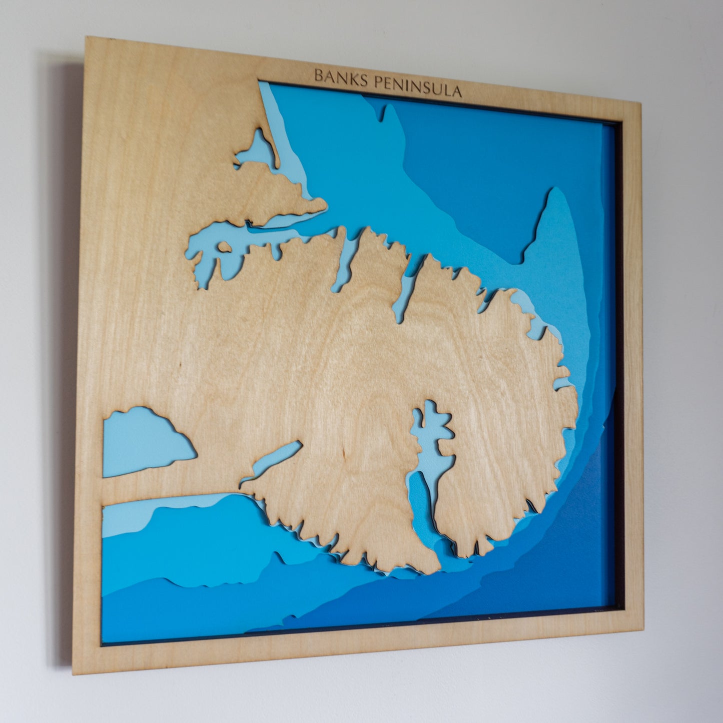
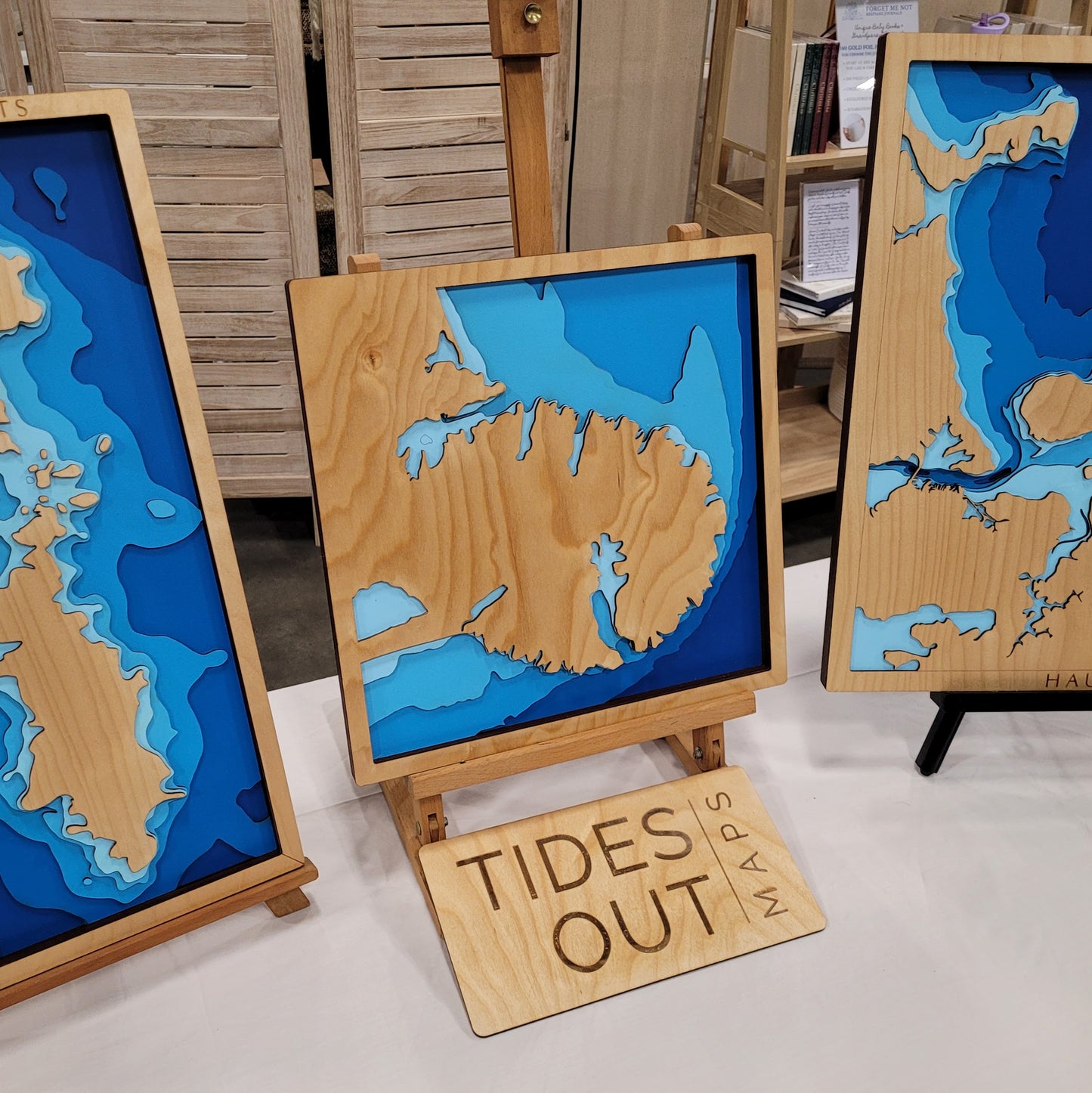
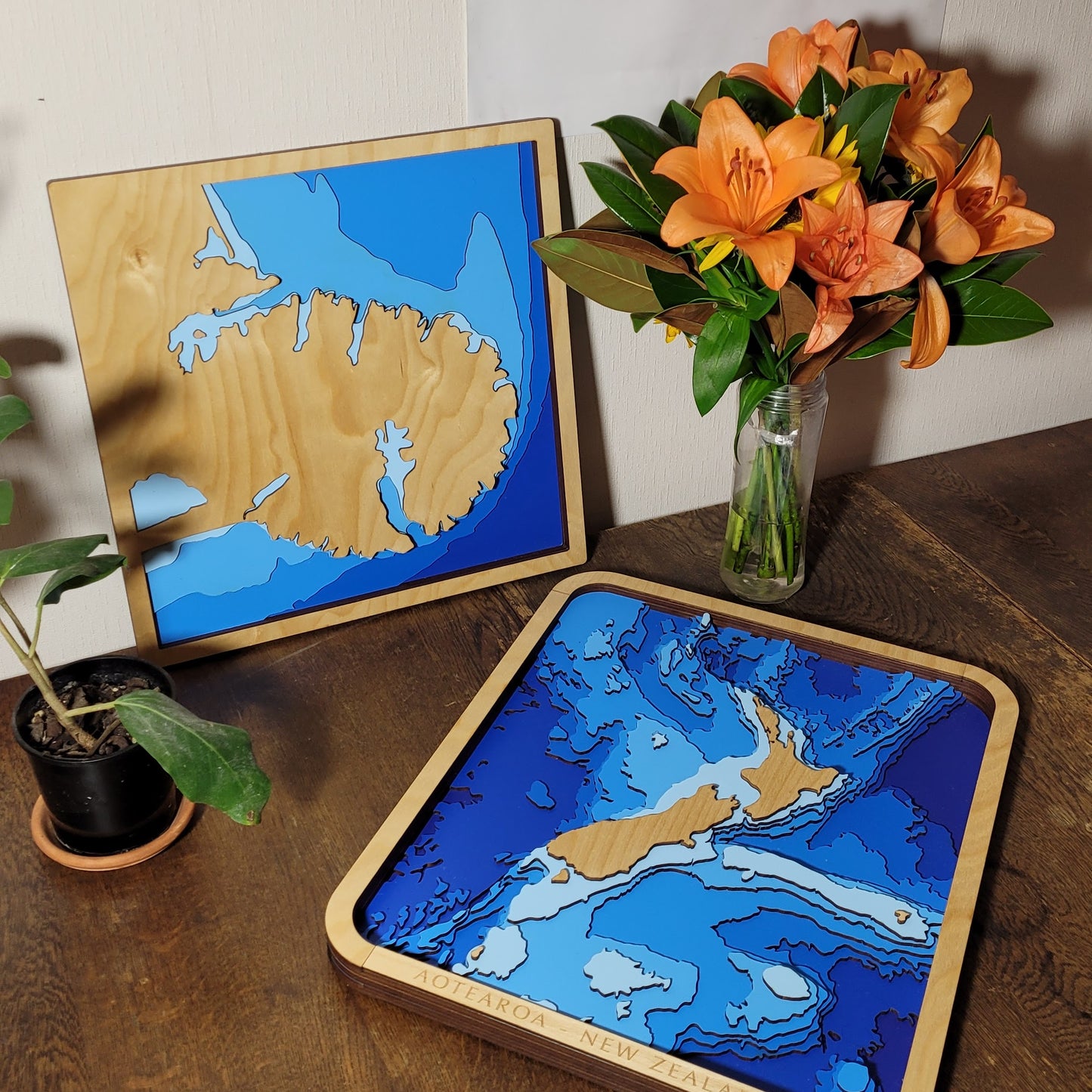
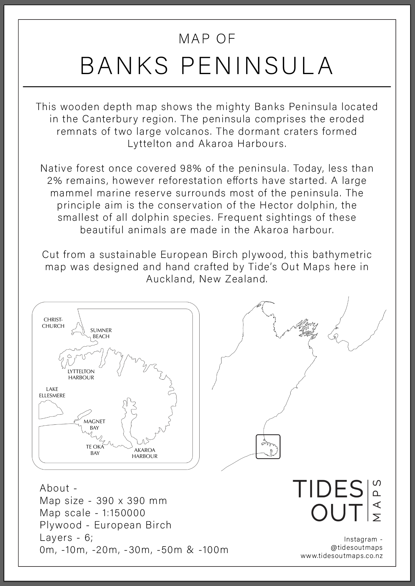
🌋 Banks Peninsula Wooden Ocean Depth Map – A Handcrafted Map of Lyttelton & Akaroa Harbours
Formed from the remnants of two ancient volcanoes, Banks Peninsula is one of the South Island’s most distinctive coastal features. With its twin harbours — Lyttelton and Akaroa — carved into dormant craters, and a marine reserve protecting the endangered Hector’s dolphin, this handcrafted wooden map captures the region’s dramatic natural history and deep coastal connection.
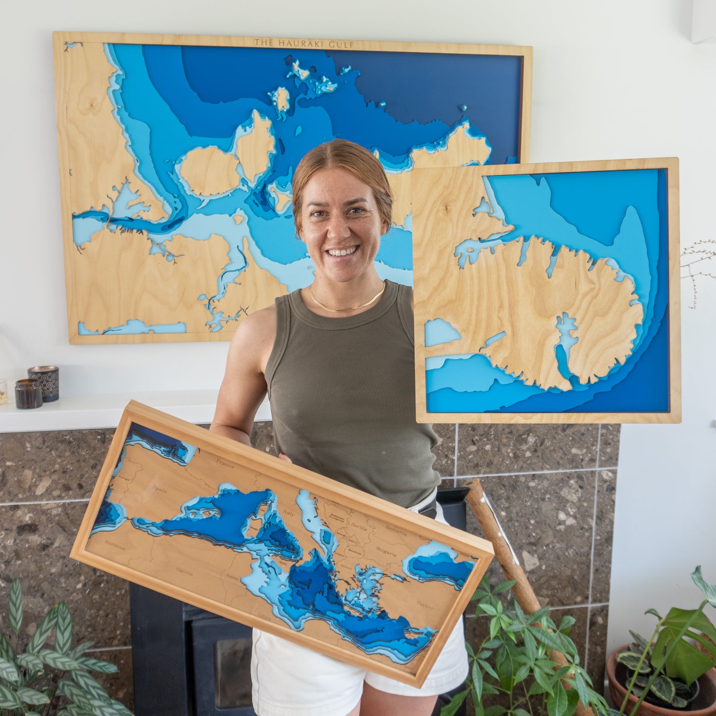
Designed and built in New Zealand, each layer is precision laser-cut from European Birch plywood, then hand-painted and assembled to highlight the unique geography and bathymetry of the peninsula in stunning relief.
🔍 Why People Love This Map:
-
A special gift for South Islanders, Christchurch locals, and nature lovers
-
Showcases Akaroa and Lyttelton Harbours with beautifully contoured depth layers
-
Celebrates the marine reserve and habitat of the rare Hector’s dolphin
-
A timeless, tactile wall piece for homes, baches, or holiday cottages
-
Proudly handmade in Aotearoa with sustainable materials and expert care
📏 Size: Small (40 x 40cm)
🪵 Material: European Birch Plywood, MDF, Water-based Paint, Timber Oil, PVA Glue
🌊 Depth Layers: Sea level, -10m, -20m, -30m, -50m, -100m
🛠️ Made to order – please allow up to 2 weeks for your handcrafted map.
Want to personalise your map with a name, memory, or special touch? Just leave a note at checkout and we’ll get in touch.
