Tide's Out Maps
Raglan Harbour, Waikato, New Zealand - Large
Raglan Harbour, Waikato, New Zealand - Large
Couldn't load pickup availability
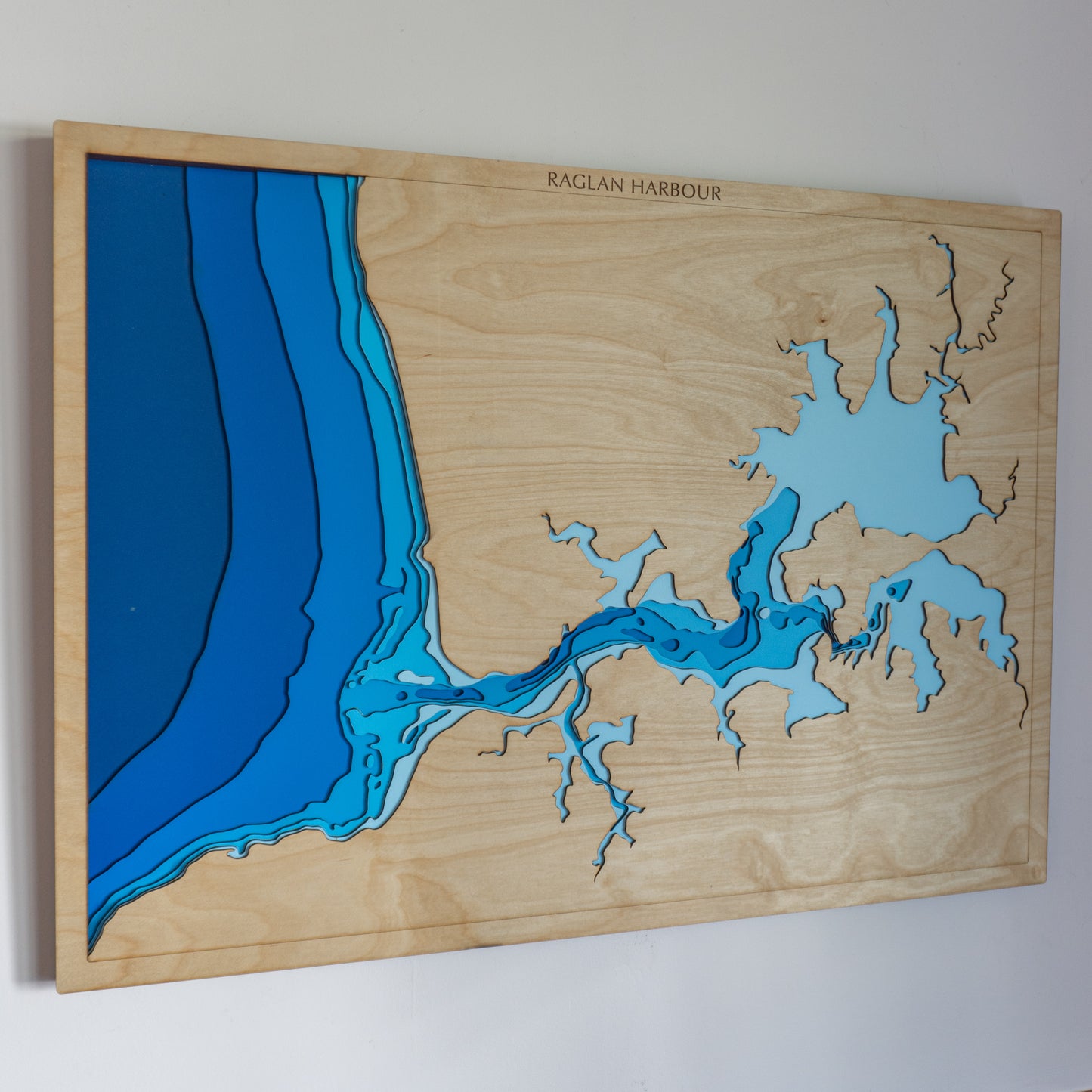
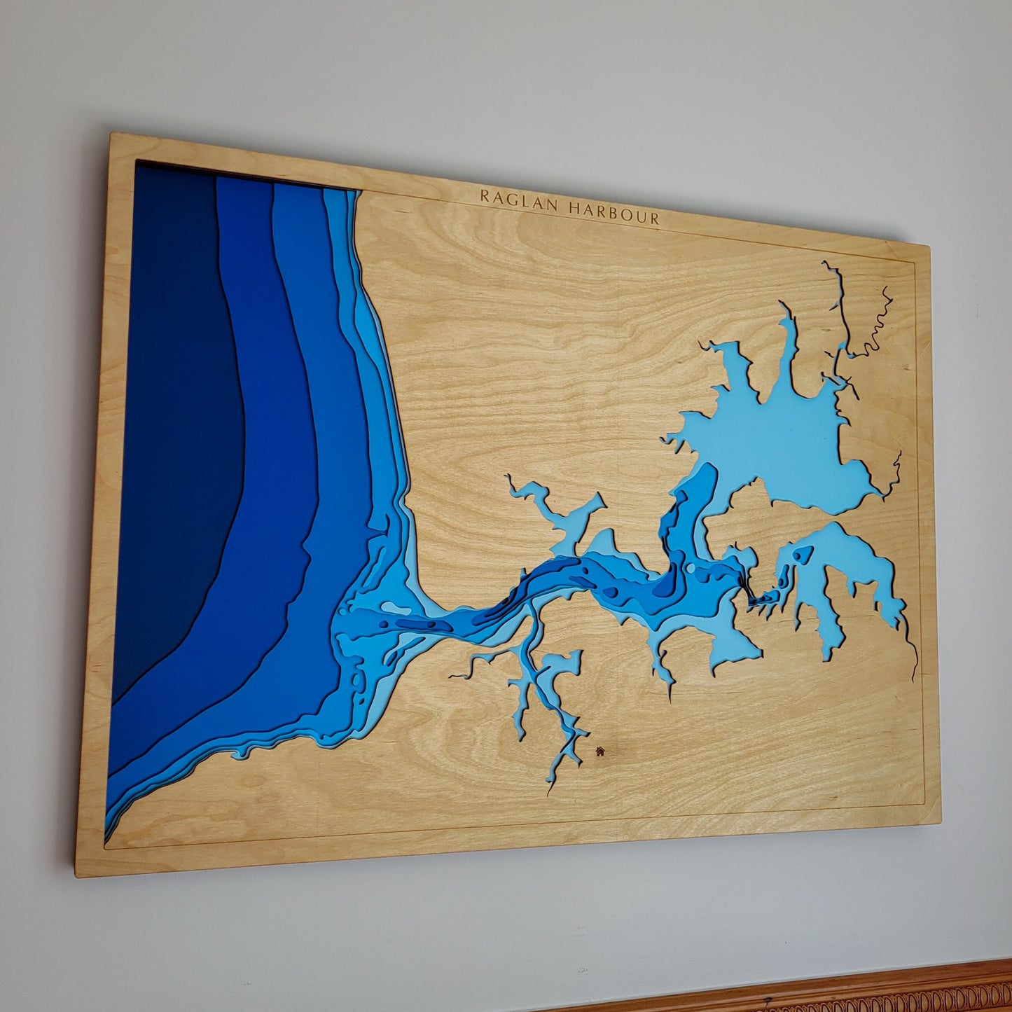
🌊 Raglan Harbour Wooden Ocean Depth Map – A Handcrafted Tribute to Whaingaroa’s Iconic Coastline
Looking for a unique gift for a surfer, a meaningful keepsake of time spent in Raglan, or a beautifully detailed piece of coastal wall art? This handcrafted wooden map captures the intricate bathymetry of Raglan Harbour / Whaingaroa — from its twisting estuaries to iconic surf breaks like Manu Bay — making it a perfect piece for locals, wave-chasers, and beach lovers alike.
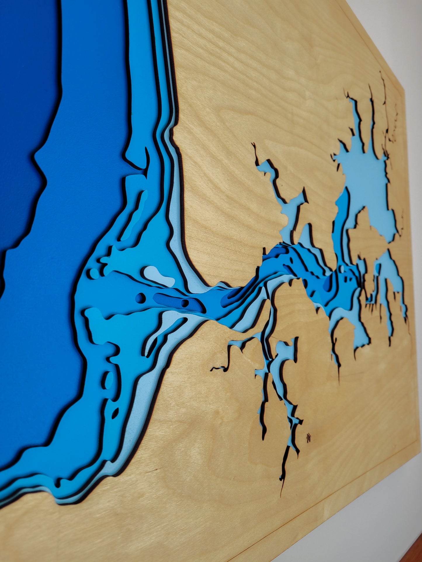
Designed and made in New Zealand, each map is laser-cut from premium European Birch plywood, then hand-painted and assembled to highlight the natural beauty of the harbour and surrounding landmarks in stunning layered relief.
🔍 Why People Love This Map:
-
A thoughtful gift for surfers, beachgoers, or anyone with ties to Raglan
-
Features well-known spots like Manu Bay, Lorenzen Bay, Gannet Island, and the Tawatahi River
-
Showcases shallow estuary channels and reef breaks with depth layers down to -30m
-
A beautifully crafted, tactile artwork for homes, baches, offices or holiday rentals
-
Sustainably handmade in NZ with attention to coastal detail and precision craftsmanship
📏 Size: Large (80 x 60 cm)
🪵 Material: European Birch plywood
🌊 Depth Layers: Sea level, -1m, -2m, -6m, -12m, -18m, -30m
🛠️ Made to order – please allow up to 2 weeks for your custom-built map.
Want to personalise your map with a name, date, or favourite spot? Just leave a note at checkout — we’ll be in touch to make it yours.


