Tide's Out Maps
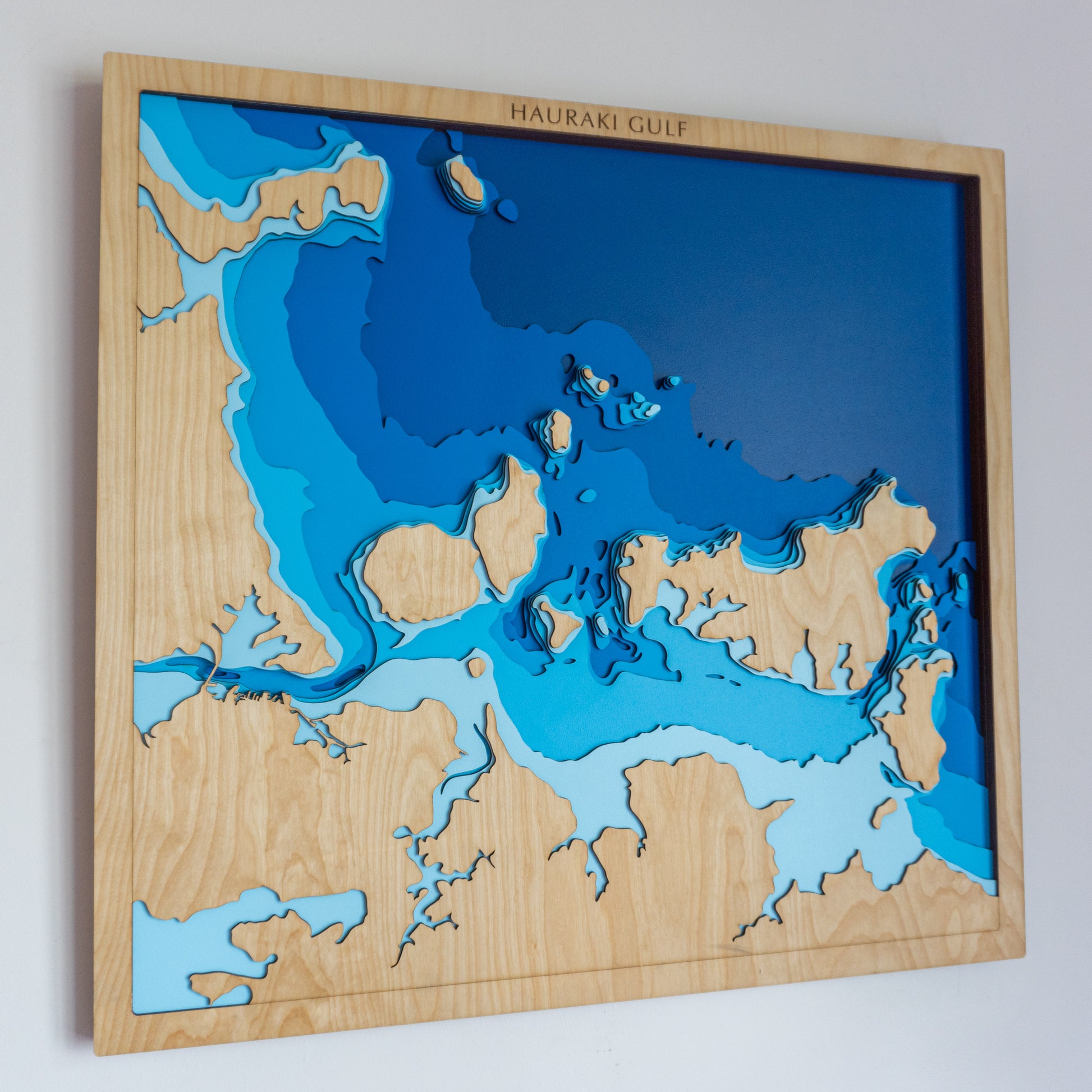
Hauraki Gulf, Auckland Region, New Zealand - Medium
Hauraki Gulf, Auckland Region, New Zealand - Medium
Couldn't load pickup availability
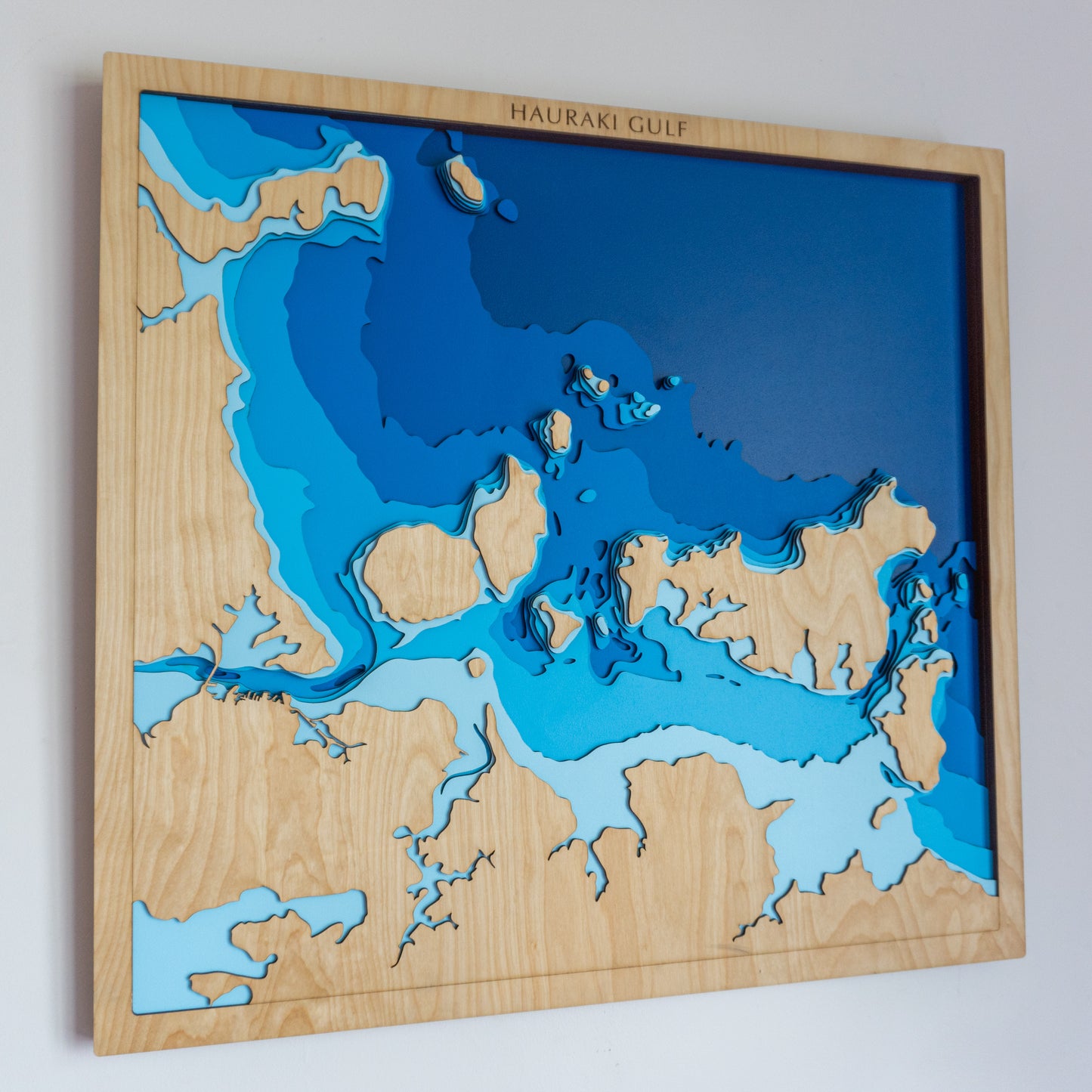
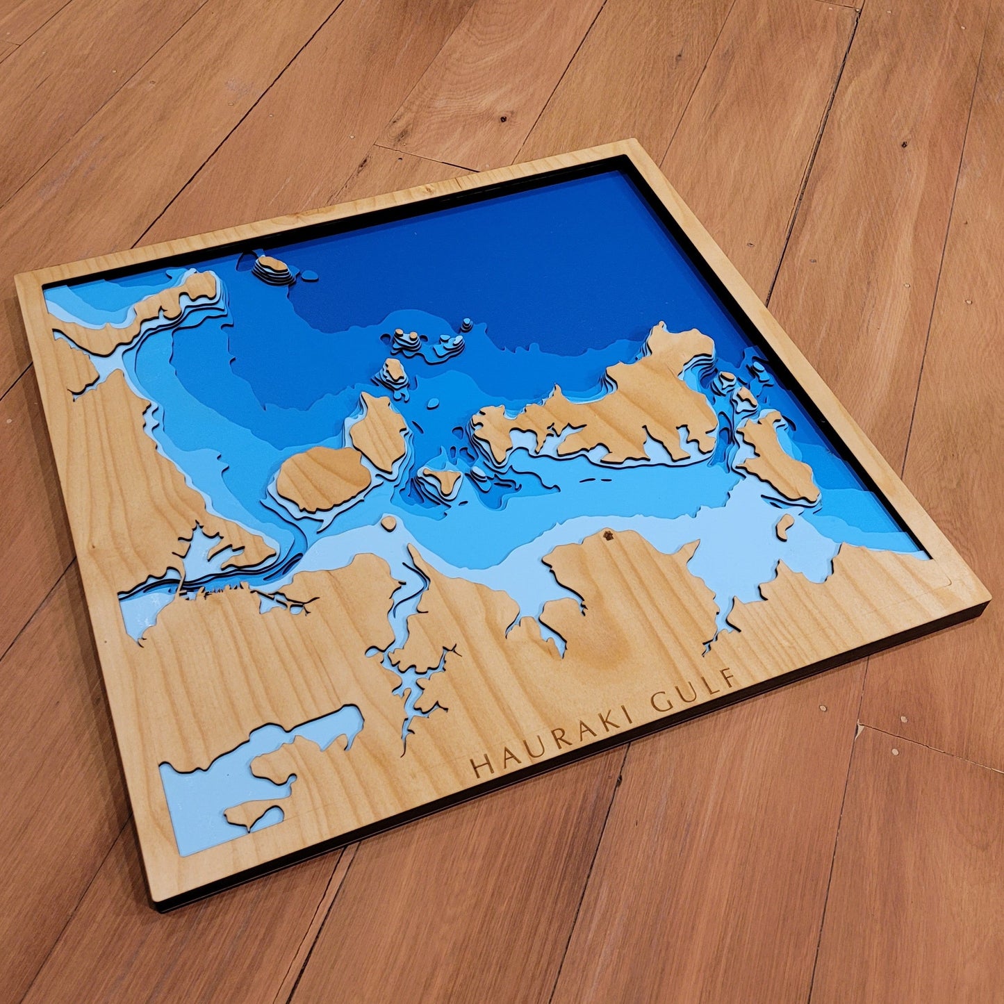
⛵ Hauraki Gulf Wooden Ocean Depth Map – A Handcrafted Tribute to Auckland’s Iconic Marine Playground
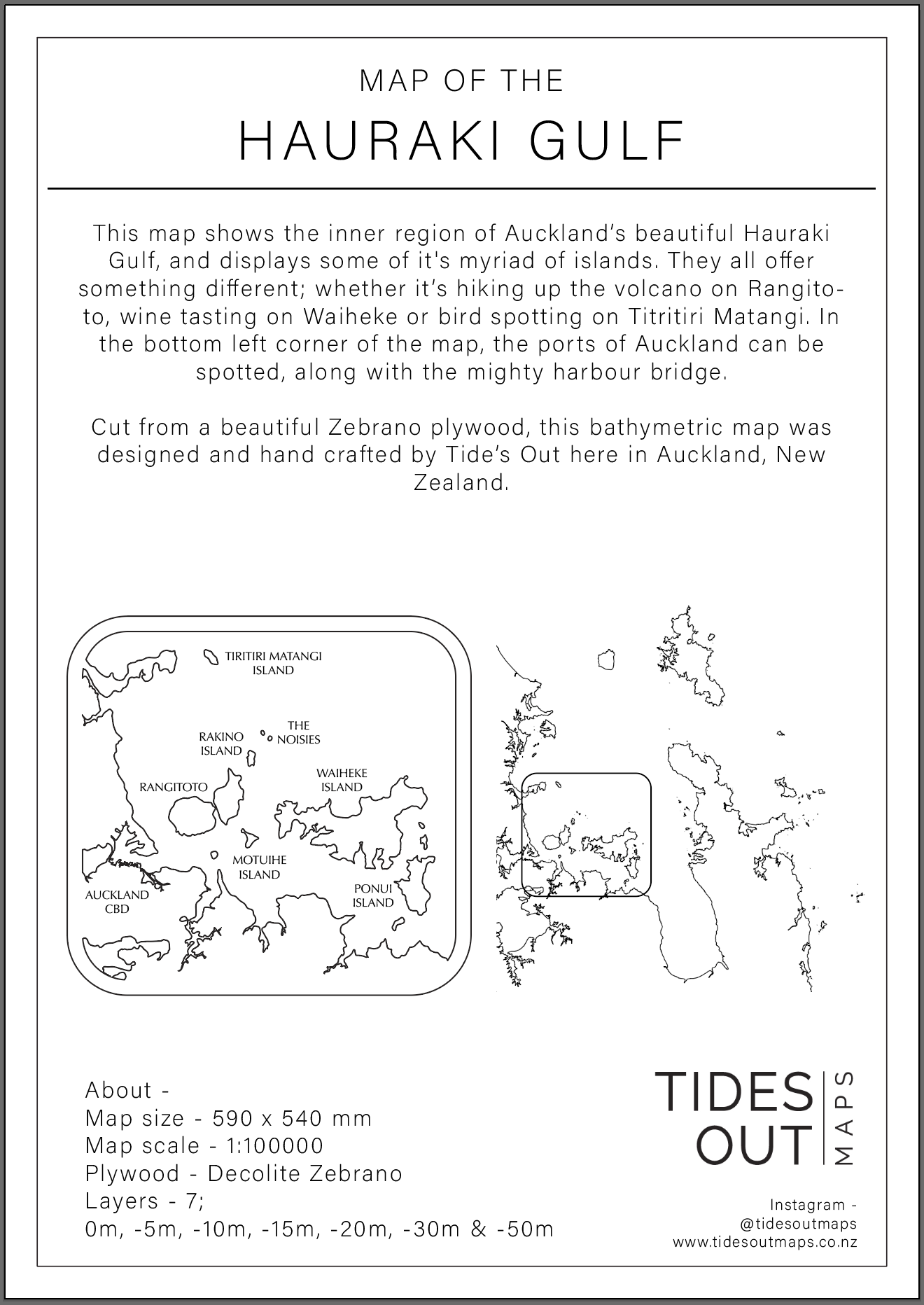
Nestled between Auckland and the Coromandel Peninsula, the Hauraki Gulf is dotted with islands, inlets, and sheltered bays — a boatie’s dream and a regional treasure. This handcrafted wooden map captures the beauty and complexity of the inner gulf, highlighting some of its most beloved islands: Rangitoto, Motutapu, Motuihe, Waiheke, Pōnui, and Tiritiri Matangi.
Whether you’ve explored its waters by sail, spent summers on the beach, or call the gulf home, this map is a stunning way to celebrate your connection to one of New Zealand’s most iconic seascapes.
Each piece is laser-cut from high-quality European Birch plywood, then hand-painted and assembled right here in New Zealand with care and precision.
🔍 Why People Love This Map:
-
A thoughtful gift for Aucklanders, sailors, island-dwellers, and nature lovers
-
Includes key islands and features of the inner Hauraki Gulf
-
Showcases layered bathymetry from sea level to -50m
-
A clean, natural centrepiece for homes, baches, or coastal offices
-
Sustainably handcrafted in NZ with fine materials and traditional techniques
📏 Size: Medium (60 x 55cm)
🪵 Material: European Birch plywood
🌊 Depth Layers: Sea level, -5m, -10m, -15m, -20m, -30m, -50m
🛠️ Made to order – please allow up to 2 weeks for your handcrafted map.
✍️ Want to personalise it with a name, event, or memory? Leave a note with your order and we’ll be in touch to create something uniquely yours.
