


Tide's Out Maps
Lake Wakatipu, Otago, New Zealand - Large
Lake Wakatipu, Otago, New Zealand - Large
Couldn't load pickup availability
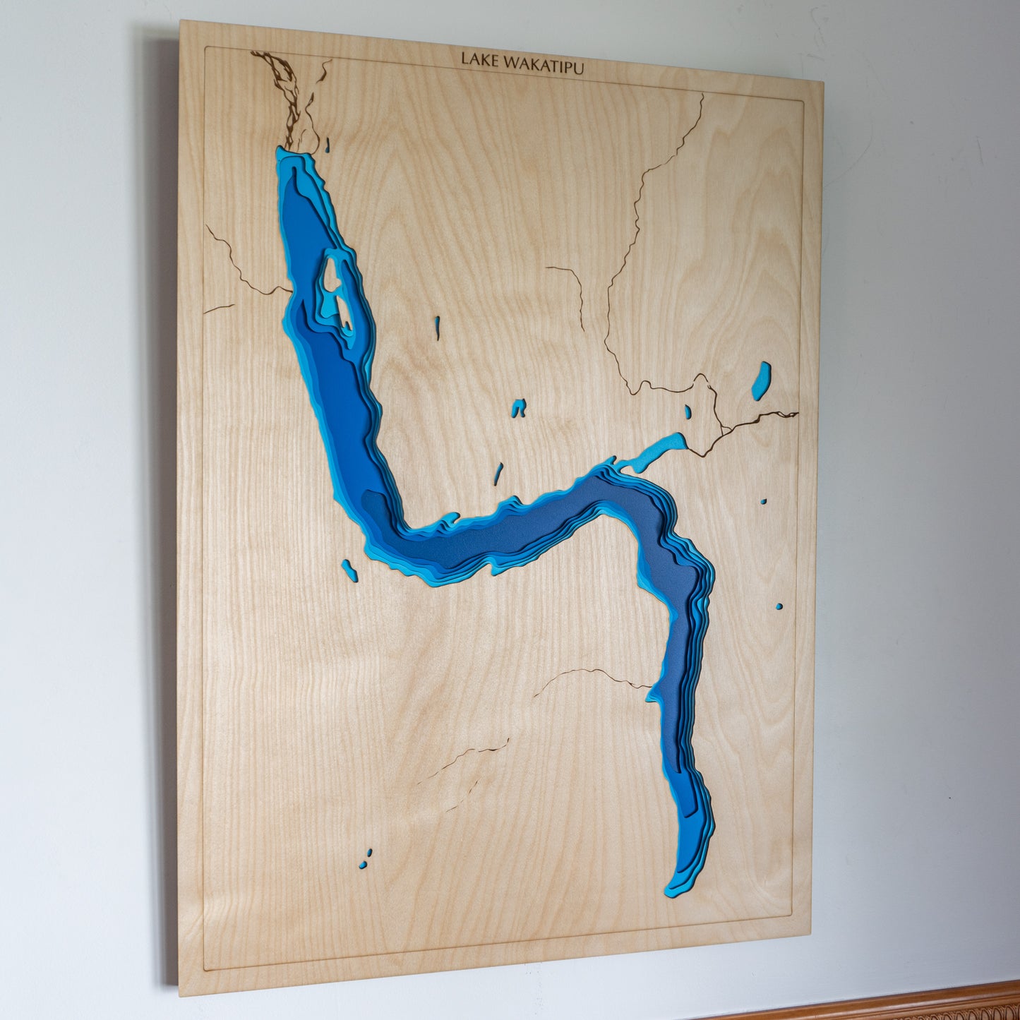
🏔️ Lake Wakatipu Wooden Depth Map – A Handcrafted Tribute to Otago’s Iconic Alpine Lake
Lake Wakatipu is a jewel of the South Island — long, deep, and dramatic, nestled among the soaring peaks of Otago. Formed by glacial forces and surrounded by world-famous landscapes, this handcrafted wooden map captures the unique S-shaped lake in stunning layered relief.
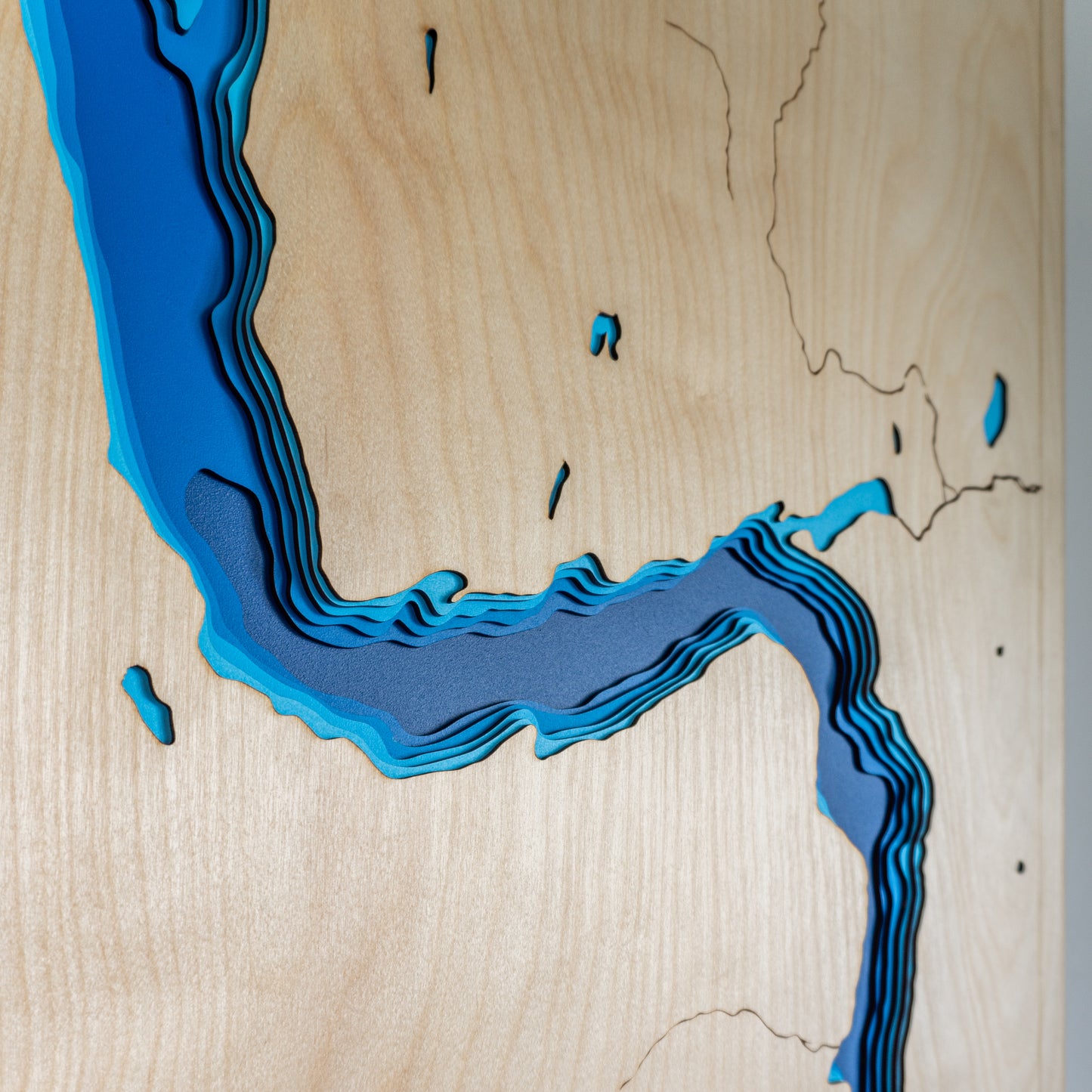
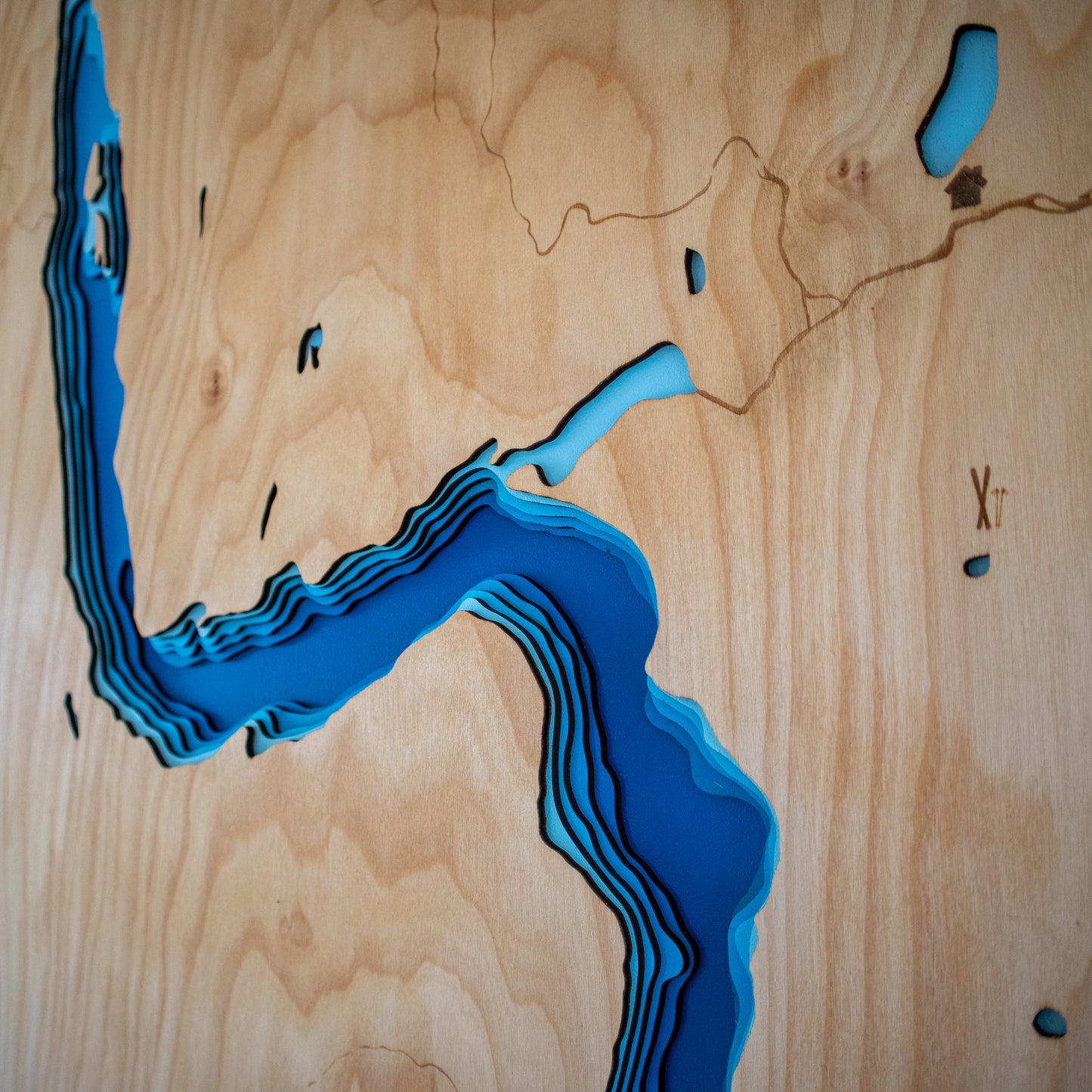
From the Dart River in the north to the Kawarau outflow in the south, every depth is carefully cut and stacked to reveal the lake’s incredible underwater geography. Queenstown, sitting on the shores of Queenstown Bay and framed by the Remarkables, adds a sense of place to this stunning piece.
Designed and made in New Zealand, each map is crafted from sustainably sourced European Birch, laser-cut for precision, and assembled by hand with care and character.
🔍 Why People Love This Map:
-
A thoughtful gift or centrepiece for Queenstown locals, adventurers, and South Island fans
-
Features key landmarks including Queenstown Bay, the Frankton Arm, and surrounding mountain terrain
-
Brings the glacial-carved basin of Lake Wakatipu to life in layered 3D relief
-
Handmade in New Zealand using sustainable materials and detailed craftsmanship
-
Personalisation available – add a name, date, or special memory to your map
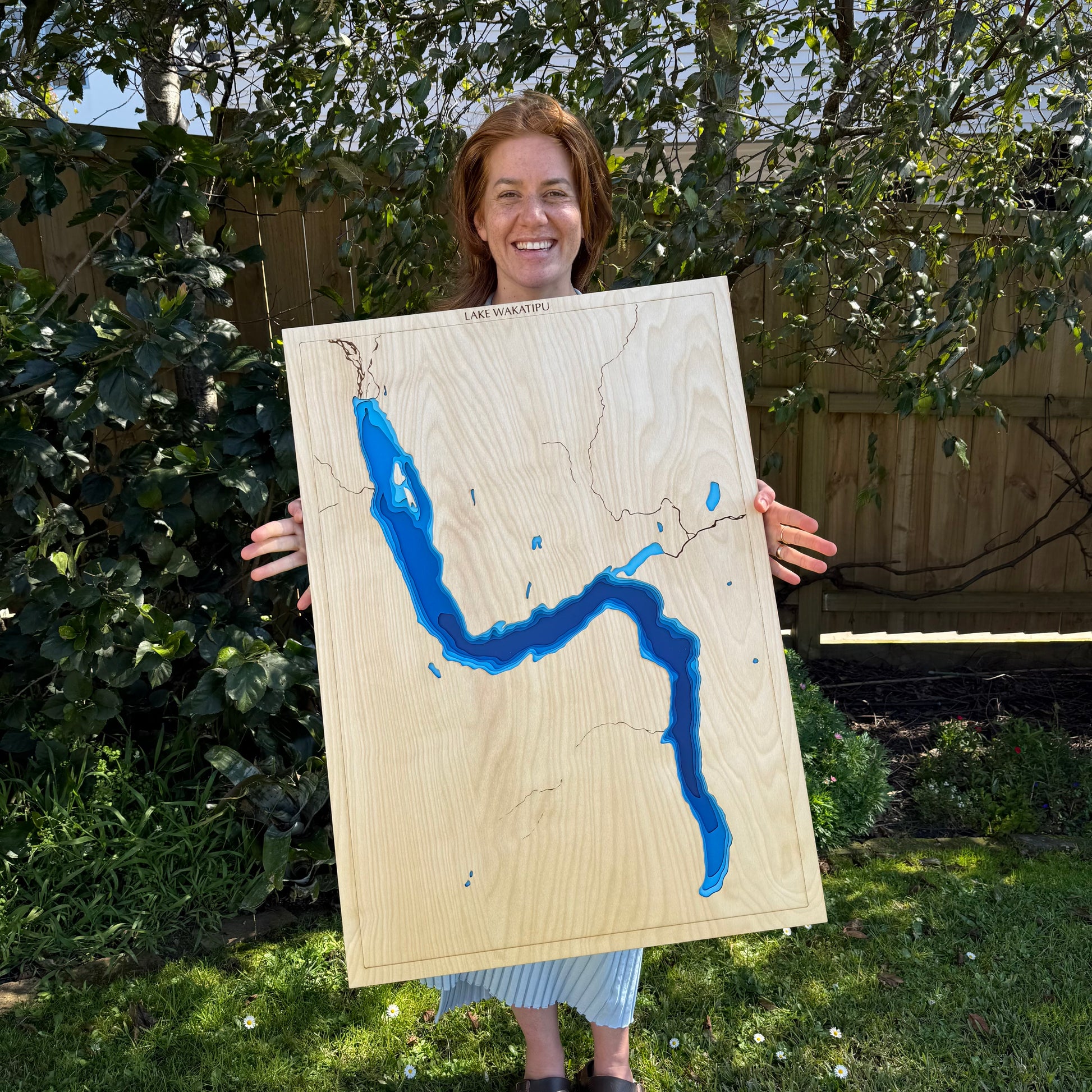
📏 Size: Large (60 x 75 cm)
🪵 Material: European Birch plywood
🌊 Depth Layers: Lake surface, -50m, -100m, -200m, -300m, -400m
🛠️ Made to order – please allow up to 2 weeks for your handcrafted map.
✍️ Want to personalise your map? Leave a note at checkout and we’ll be in touch to customise it for you.