Tide's Out Maps
Lake Waikaremoana, Waikato, New Zealand
Lake Waikaremoana, Waikato, New Zealand
Couldn't load pickup availability
🌲 Lake Waikaremoana Wooden Depth Map – A Handcrafted Gift for Nature Lovers
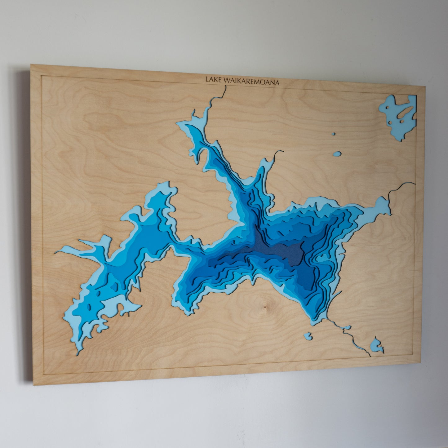
Looking for a thoughtful gift for Dad, a way to honour a favourite tramping spot, or a statement piece for your home? This handcrafted wooden map of Lake Waikaremoana, located in the heart of Te Urewera, brings the North Island’s remote wilderness to life — perfect for outdoor adventurers, nature lovers, and those with deep roots in Aotearoa.
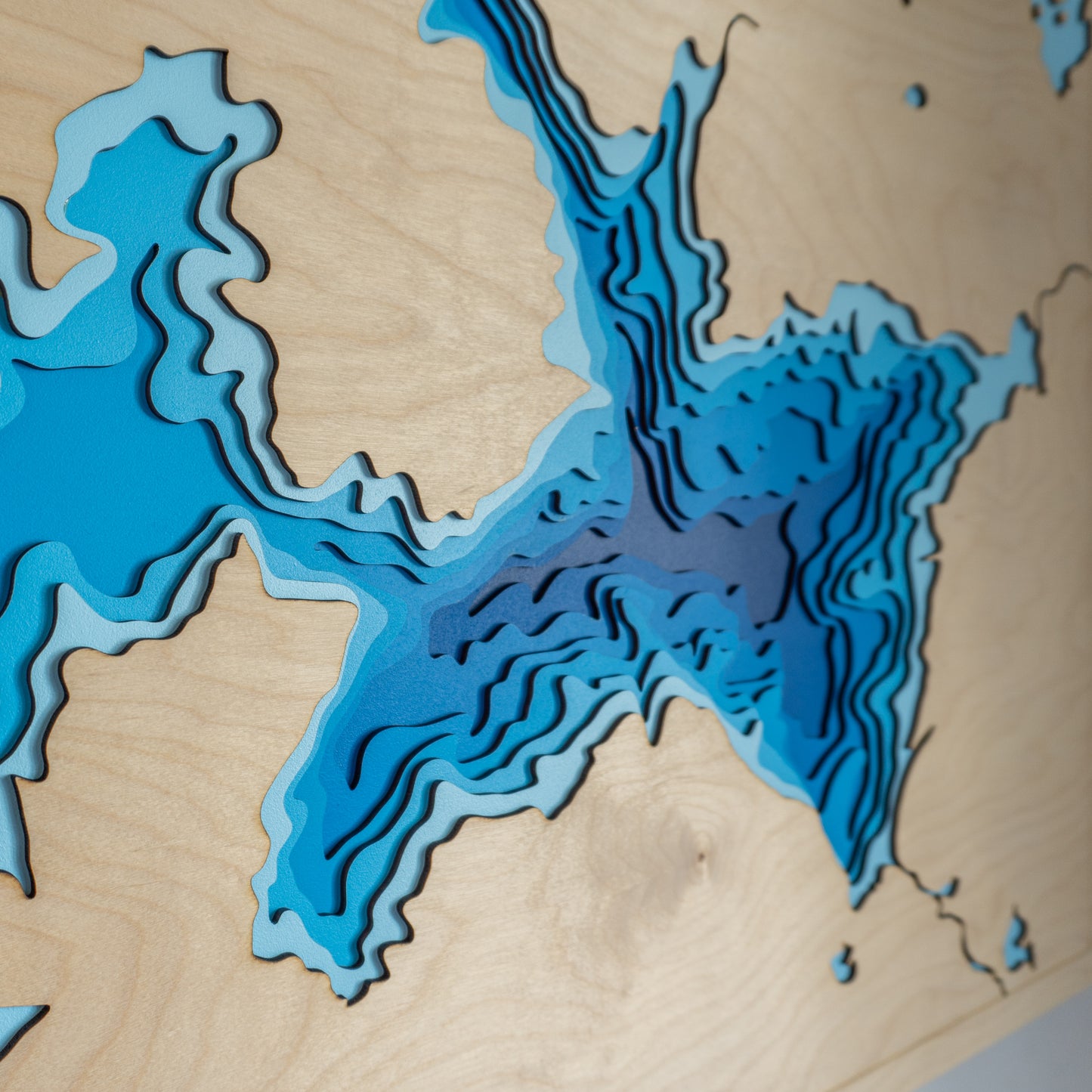
With its sweeping contours, deep clear waters, and scattering of small islands, Lake Waikaremoana is a place of quiet beauty. We’ve captured its essence using laser-cut layers of European Birch plywood, meticulously hand-painted and assembled in New Zealand to showcase its depth and natural character.
🔍 Why People Love This Map:
-
A unique and heartfelt gift for birthdays, Father’s Day, or anniversaries
-
Perfect for trampers who’ve walked the Great Walk or visited Te Urewera
-
A beautiful piece of natural New Zealand wall art to display in your home or bach
-
Handcrafted with care, using sustainable materials and local craftsmanship
📏 Size: Large (80 x 60 cm)
🪵 Material: European Birch plywood
🌊 Depth Layers: Sea level, -40m, -80m, -120m, -160m, -200m, -240m, -400m
🛠️ Made to order – please allow up to 2 weeks for handcrafting.
✍️ Want to personalise it? Click 'Add a Bespoke Addition' and add a note to your order and we’ll be in touch.
Looking for a custom lake, river, or tramping location? Design your bespoke map here.


