Tide's Out Maps
Bream Bay, Northland, New Zealand - Medium
Bream Bay, Northland, New Zealand - Medium
Couldn't load pickup availability
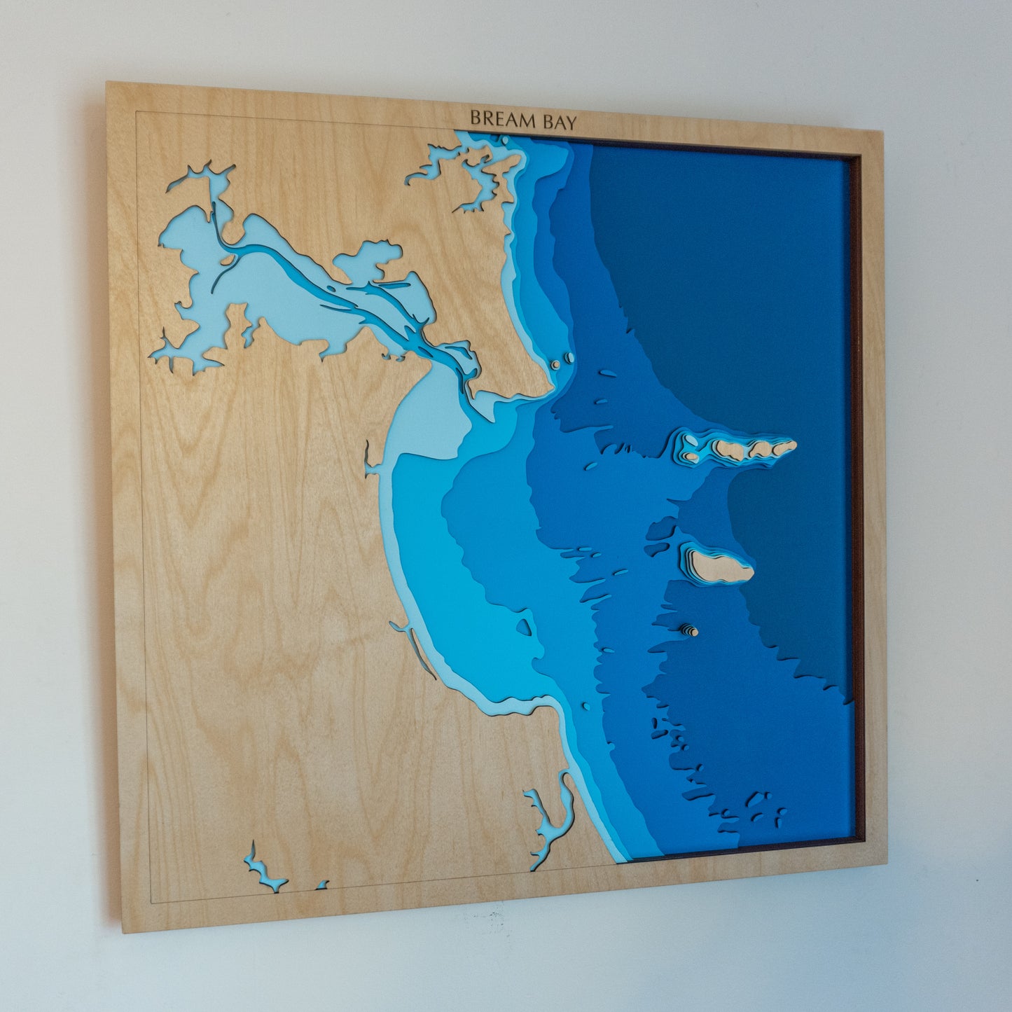
🌊 Bream Bay Wooden Ocean Depth Map – A Handcrafted Tribute to Northland’s Coastal Beauty
From the dramatic cliffs of Whangārei Heads to the rolling dunes of Mangawhai, this handcrafted wooden map captures the stunning geography of Bream Bay. At its heart sit the Hen and Chicken Islands, rising from deep water like sentinels of the sea — a protected nature reserve and a striking feature in this beautifully layered piece.
Designed and built in Aotearoa, each layer is laser-cut from European Birch plywood, then painted and assembled by hand to accurately showcase the bay’s bathymetry — from shallow estuaries to deep coastal waters.
🔍 Why People Love This Map:
-
A meaningful gift for Northlanders, beach lovers, and coastal adventurers
-
Features Whangārei Harbour, Mangawhai, and the Hen & Chicken Islands in elegant detail
-
Captures depth layers from sea level to -150m for a dramatic underwater profile
-
A tactile and timeless piece for homes, baches, or nature retreats
-
Sustainably handmade in NZ with care and precision
📏 Size: Medium (60 x 60cm)
🪵 Material: European Birch Plywood, MDF, Water-based Paint, Timber Oil, PVA Glue
🌊 Depth Layers: Sea level, -10m, -20m, -40m, -50m, -80m, -150m
🛠️ Made to order – please allow up to 2 weeks for your handcrafted map.
Want to mark a memory or personalise your map? Leave a note at checkout — we’ll be in touch to customise it just for you.


