Tide's Out Maps
United Kingdom (UK) - Large
United Kingdom (UK) - Large
Couldn't load pickup availability
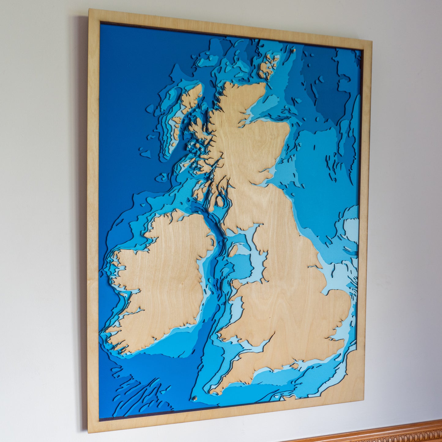
🇬🇧 United Kingdom Wooden Depth Map – Large
Celebrate your connection to the UK with this handcrafted wooden map of the United Kingdom—featuring the coastlines of England, Scotland, Wales, and Northern Ireland in stunning layered relief.
Whether it’s home, a place of heritage, or a memorable stop on your journey, this piece turns the iconic shape of the British Isles into tactile art. Every contour is laser-cut and assembled by hand using sustainable wood, creating a one-of-a-kind statement for your wall.
A bold tribute to history, geography, and the places that shape us.
✨ Why You’ll Love It
-
Large format – ideal for feature walls or prominent display
-
Crafted in New Zealand using sustainably sourced plywood
-
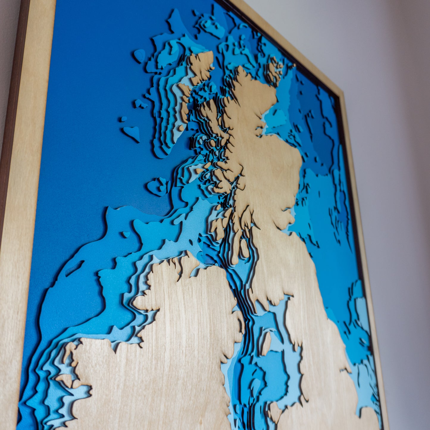
Laser-cut layers show the UK’s distinctive coastlines and terrain
-
Each map is unique thanks to the natural wood grain
-
Personalised text or coordinates available upon request
📏 Size: Large (60 x 80 cm)
🪵 Material: European Birch or similar sustainable plywood
🌊 Layers:
🛠️ Made to Order: Please allow up to two weeks for crafting
✍️ Want to personalise your map?
Click ‘Add a Bespoke Addition’ and write a note with your order—we’ll be in touch to customise your map just the way you want.


