Tide's Out Maps
East Cape, Gisborne Region, New Zealand – Medium
East Cape, Gisborne Region, New Zealand – Medium
Couldn't load pickup availability
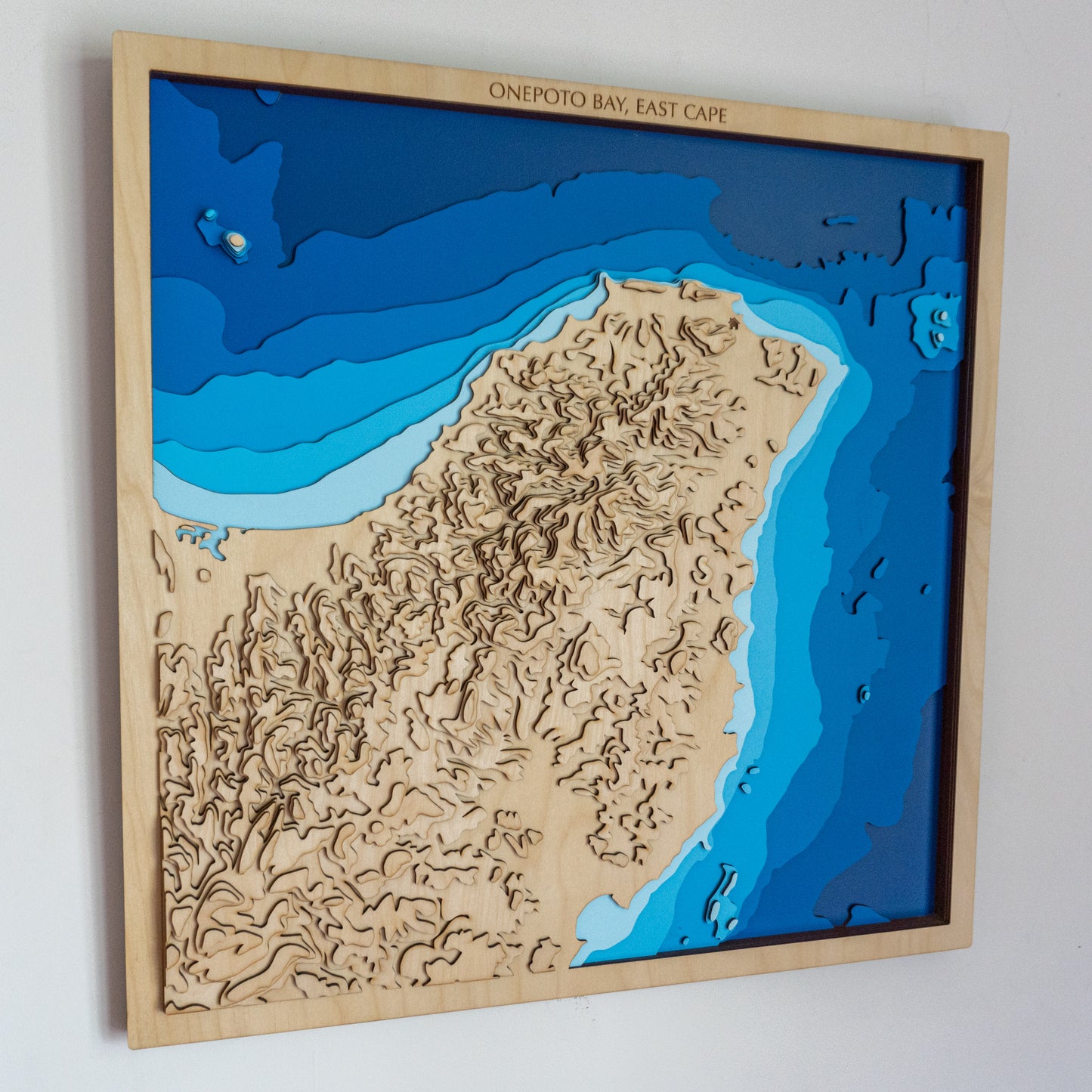
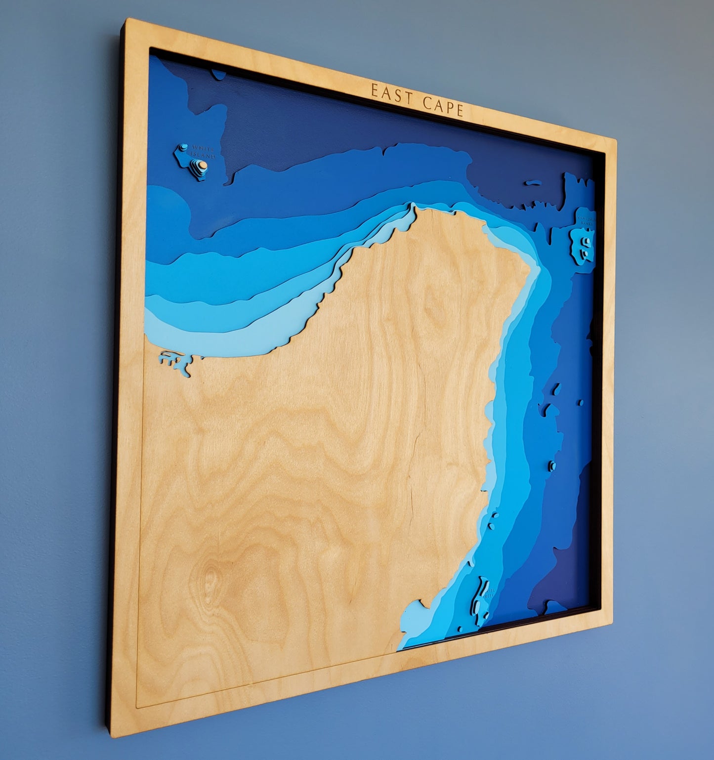
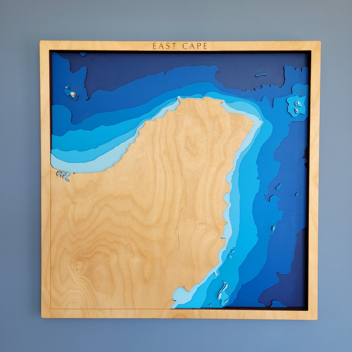
🌄 East Cape Wooden Ocean Depth Map – A Handcrafted Tribute to Aotearoa’s Easternmost Edge
Remote, rugged, and spiritually rich, East Cape marks the easternmost point of New Zealand’s mainland — where the land greets the rising sun and the Pacific Ocean stretches vast and deep. This handcrafted wooden map captures the dramatic drop-offs and sweeping coastal contours of Te Tai Rāwhiti, making it a meaningful piece for those who cherish this powerful, untamed region.
Designed and built in New Zealand, each layer is precision laser-cut from European Birch plywood, then hand-painted and assembled to showcase the ocean’s changing depths in tactile relief — from nearshore shallows to deep offshore trenches.
🔍 Why People Love This Map:
-
A striking gift for East Coast locals, surfers, travellers, or ocean lovers
-
Highlights the unique bathymetry of the East Cape — from sea level to -2000m
-
A stunning, natural wall piece for homes, baches, or coastal retreats
-
Proudly handcrafted in NZ using sustainable materials and detailed craftsmanship
-
Personalisation options available to mark special places or stories
📏 Size: Medium (60 x 60cm)
🪵 Material: European Birch Plywood, MDF, Water-based Paint, Timber Oil, PVA Glue
🌊 Depth Layers: Sea level, -30m, -50m, -100m, -200m, -1000m, -2000m
🛠️ Made to order – please allow up to 2 weeks for your handcrafted map.
✍️ Want to personalise your map with a name, memory, or coordinates? Just leave a note with your order and we’ll be in touch.


