Tide's Out Maps
Manukau Harbour, Auckland Region, New Zealand – XL
Manukau Harbour, Auckland Region, New Zealand – XL
Couldn't load pickup availability
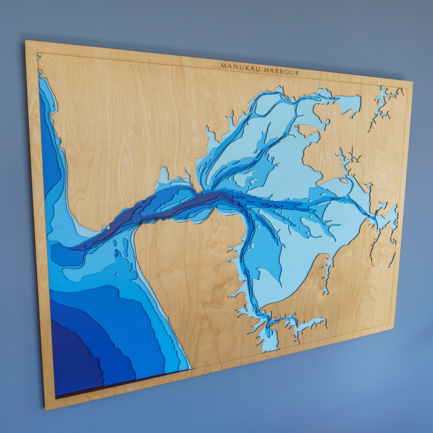
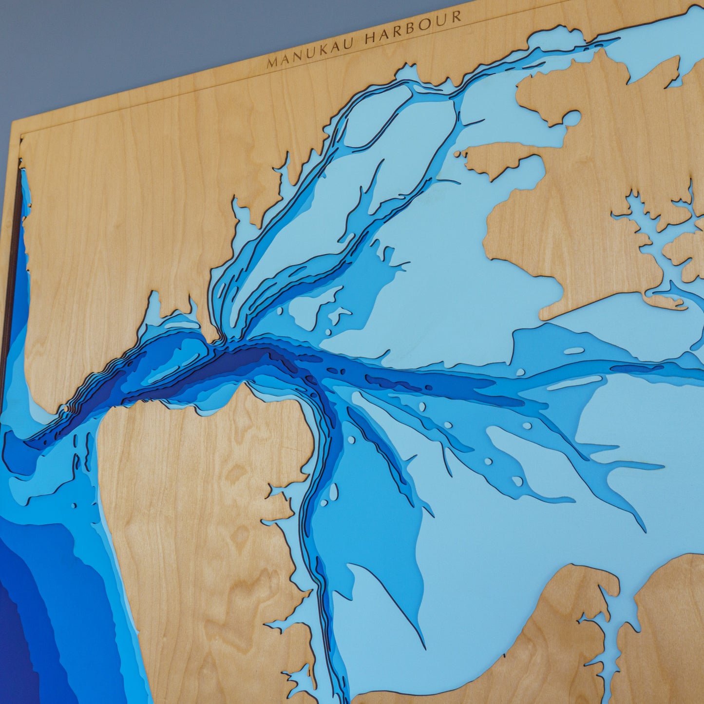
🌊 Manukau Harbour Wooden Depth Map – Extra Large Statement Piece
Make an impression with this striking XL wooden depth map of Manukau Harbour — a powerful tribute to one of Aotearoa’s most iconic and tidal waterways.
New Zealand’s second-largest harbour by area, the Manukau is a place of constant movement. With each tide, nearly half its waters squeeze through a narrow 2km-wide entrance, exposing rich mudflats and sandbars below. This handcrafted map captures that energy and complexity in stunning, layered detail.
Historically vital to Māori for its portages, resources, and kai moana, the harbour remains a beloved fishing, boating, and cultural site today. From the winding estuaries to the harbour mouth, this extra-large piece brings it all to life — perfect for larger walls and big stories.
🔍 Why You’ll Love This XL Map:
-
Designed for spacious homes, lodges, offices, and gallery walls
-
Showcases the unique tidal geography and Māori heritage of the Manukau
-
Crafted from sustainable European Birch plywood
-
Laser-cut, hand-painted, and hand-assembled in New Zealand
-
Optional engraving lets you mark special places, dates, or names
-
A bold conversation piece with depth and meaning
📏 Size: Extra Large (120 x 90 cm)
🪵 Material: European Birch 3-ply plywood
🌊 Depth Layers: Sea level, -2m, -5m, -10m, -20m, -30m, -50m
🛠️ Made to order – please allow up to 2 weeks for production
⚠️ Due to its size, we recommend enquiring before purchasing
✍️ Want to personalise your map? Add a note to your order and we’ll be in touch with customisation options.


