Tide's Out Maps
Kaipara Harbour, Northland, New Zealand – XL
Kaipara Harbour, Northland, New Zealand – XL
Couldn't load pickup availability
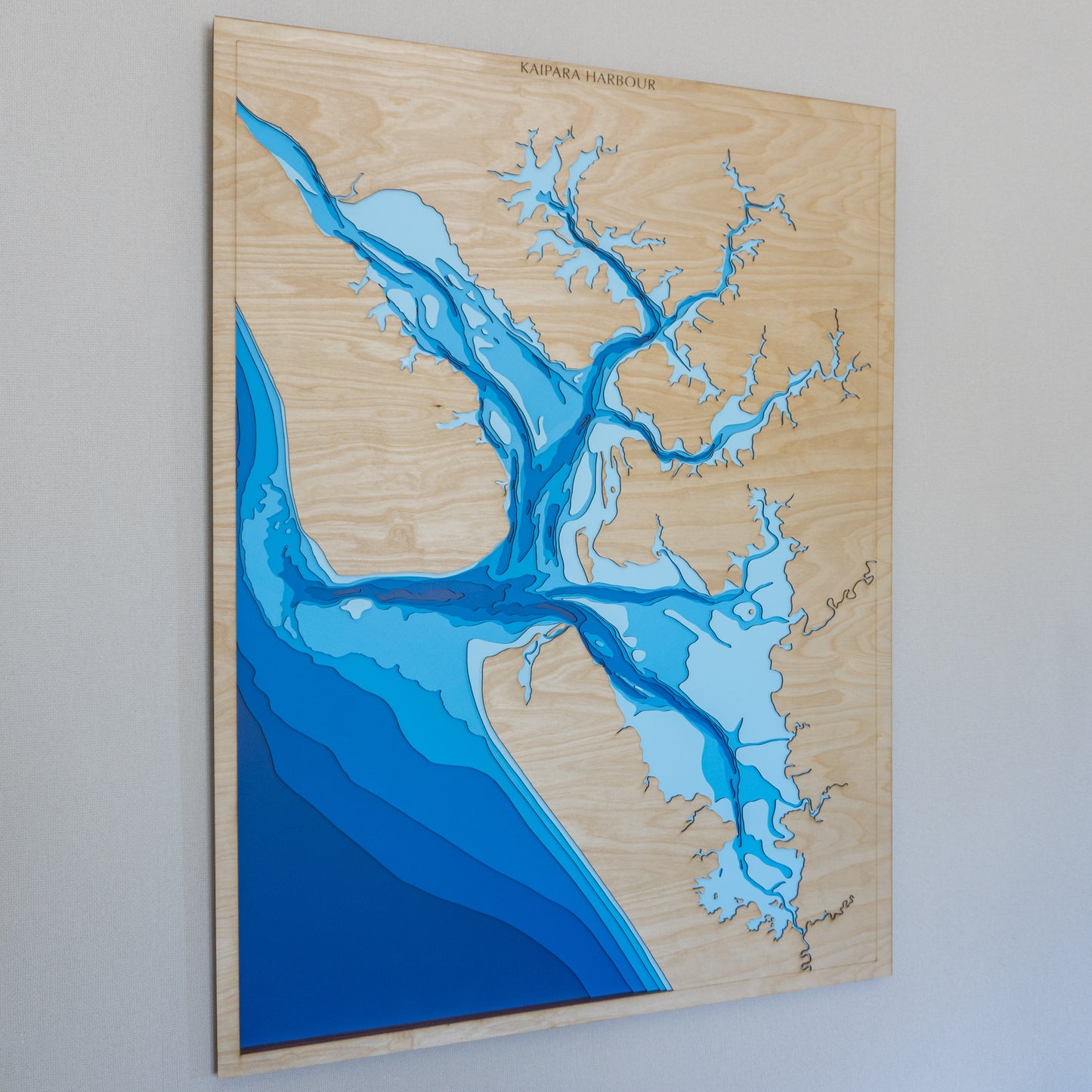
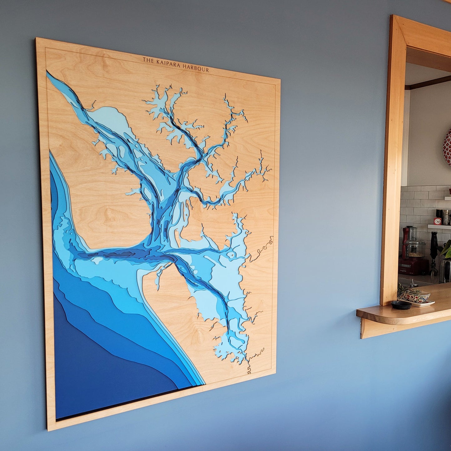
🌊 Kaipara Harbour Wooden Ocean Depth Map – Extra Large (90 x 120 cm)
A Handcrafted Tribute to One of the Largest Harbours in the World
Spanning nearly 1,000 square kilometres at high tide, Kaipara Harbour is a vast and complex tidal system — one of the largest in the world. At low tide, its expansive mudflats emerge, revealing a walkable, ever-changing landscape. The lightest blue layer on this map represents these tidal flats, which are largely exposed and navigable on foot during low tide.
The name Kaipara comes from kai (food) and para (king fern), reflecting the region’s long-standing relationship with the land and its abundance. Deeply rooted in natural and cultural history, this area is both a marine sanctuary and a place of sustenance, reflection, and resilience.
This handcrafted wooden map captures the harbour’s immense scale and tidal dynamics with precision and care. Made right here in New Zealand, each map is laser-cut from sustainably sourced European Birch 3-ply plywood, then hand-painted and assembled layer by layer to highlight the subtle bathymetry of this extraordinary place.
🔍 Why People Love This Map:
-
A bold, statement piece for homes, lodges, public spaces, or those connected to Kaipara
-
Celebrates the size, shape, and tidal rhythm of Aotearoa’s wild west coast
-
Layered bathymetry from sea level to -50m, with walkable tidal flats shown in light blue
-
Crafted in NZ with premium materials and deep respect for the landscape
-
Optional customisation available — perfect for marking personal places or family ties
📏 Size: Extra Large (90 x 120 cm)
🪵 Material: European Birch 3-ply plywood
🌊 Depth Layers: Sea level, -2m, -5m, -10m, -20m, -30m, -50m
🛠️ Made to order – please allow up to 2 weeks for your handcrafted map.
📩 Due to its size, we recommend contacting us before purchasing to discuss delivery options and customisation.
✍️ Want to personalise it with a name, story, or location? Leave a note with your order and we’ll be in touch.


