Tide's Out Maps
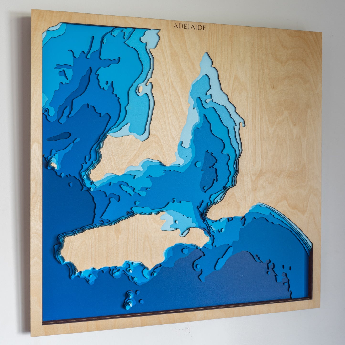
Adelaide, South Australia, Australia - Medium
Adelaide, South Australia, Australia - Medium
Couldn't load pickup availability
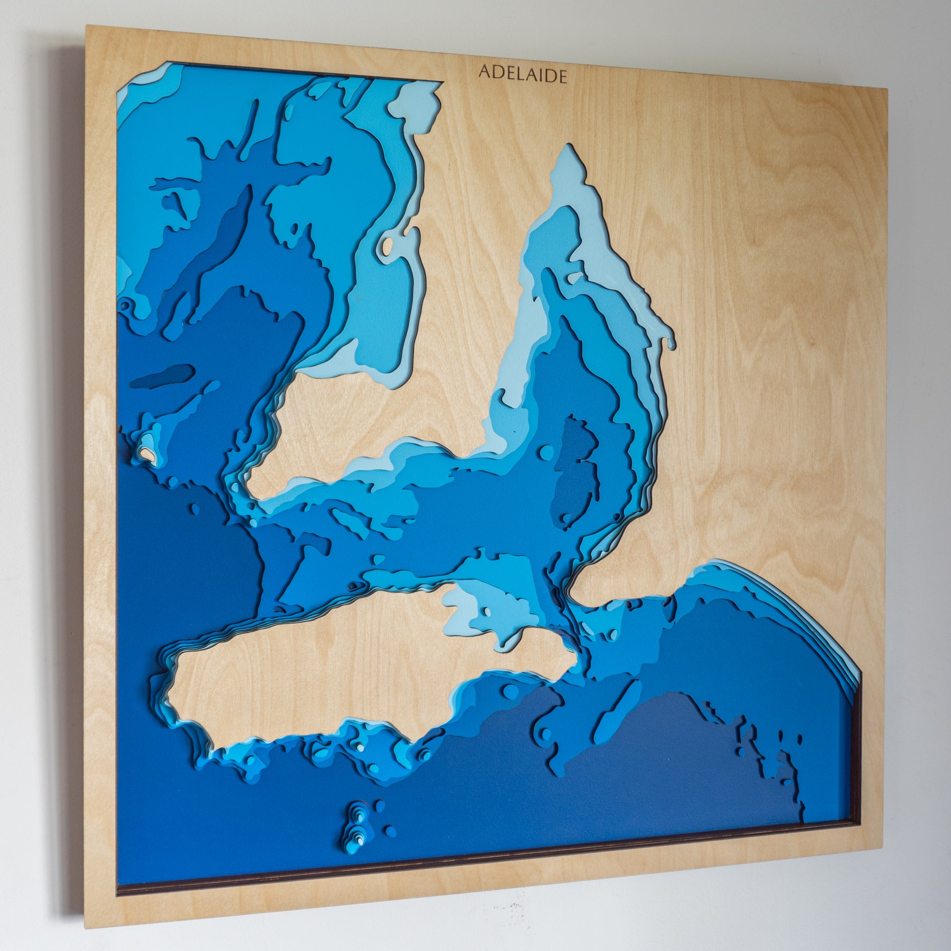
🌊 Adelaide Wooden Ocean Depth Map – A Handcrafted Gift for Ocean & Coastline Lovers
Searching for a meaningful gift for a sea-loving dad, a stunning piece of ocean-inspired wall art, or a way to celebrate your connection to South Australia’s coastline? This handcrafted wooden map of Adelaide captures the beautiful detail of the Gulf St Vincent, from its shallow shores to its deeper channels - a must-have for boaties, fishers, and coastal dreamers alike.
Expertly designed and made right here in New Zealand, each layer is laser-cut from European Birch plywood, painted by hand, and assembled with care to showcase Adelaide’s coastal geography in stunning relief.
🔍 Why People Love This Map:
-
A one-of-a-kind gift for birthdays, anniversaries, Father’s Day or ocean lovers
-
Features the bathymetry of Gulf St Vincent, ideal for anyone who boats, fishes or grew up by the water
-
A tasteful and tactile coastal decor piece for homes, offices, or beach retreats
-
Proudly handmade in NZ with sustainable materials and attention to detail
📏 Size: Medium (60 x 60 cm)
🪵 Materials: European Birch Plywood, MDF, Water-based Paint, Timber Oil, PVA Glue
🌊 Depth Layers: Sea level, -10m, -20m, -30m, -40m, -50m, -100m
🛠️ Made to order – please allow up to 2 weeks for your custom-built map.
Want to mark a special memory or create your own coastal location? Start your custom map design here.


