2021 was a year of beginnings, creativity, and laying the foundation for what would become Tides Out Maps. Here's a look back at our inaugural year:
🛠️ Crafting the First Maps
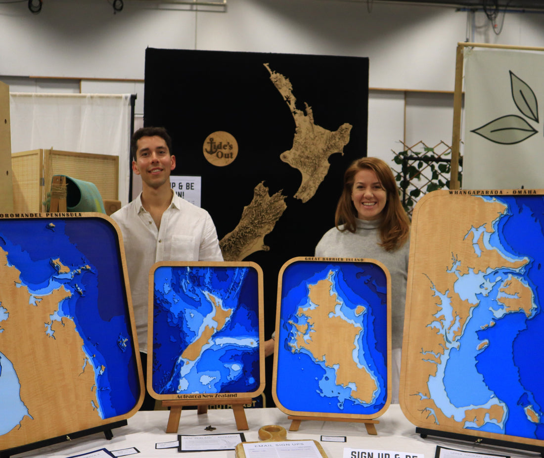
Our first creations were maps of the Hauraki Gulf, Coromandel Peninsula, and Lake Tarawera. Each piece was meticulously designed and handcrafted, capturing the intricate details of New Zealand's coastlines.
📸 Sharing Our Journey
We began sharing our work on Instagram, documenting the process of creating each map. From selecting the wood to the final touches, we wanted to bring our audience along for the ride.
🤝 Building Connections
As we shared our maps, we started to connect with fellow ocean enthusiasts, travelers, and locals who shared our passion for the sea. These interactions fueled our motivation and inspired new ideas.
🌱 Looking Ahead
With the foundation laid in 2021, we're excited to continue growing, exploring new coastlines, and sharing our love for the ocean through our maps.
Thank you for being part of our journey.
Stay connected with us on Instagram for more stories and updates.

