
Tide's Out Maps
Kaipara Harbour, Northland, New Zealand - Large
Kaipara Harbour, Northland, New Zealand - Large
Couldn't load pickup availability
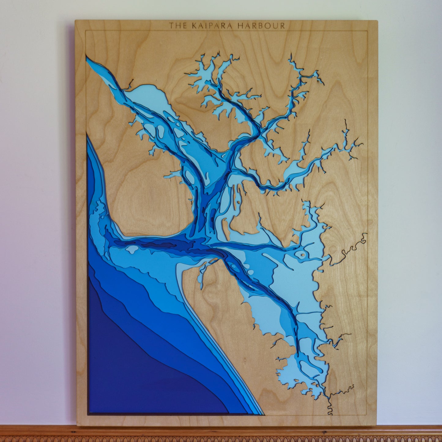
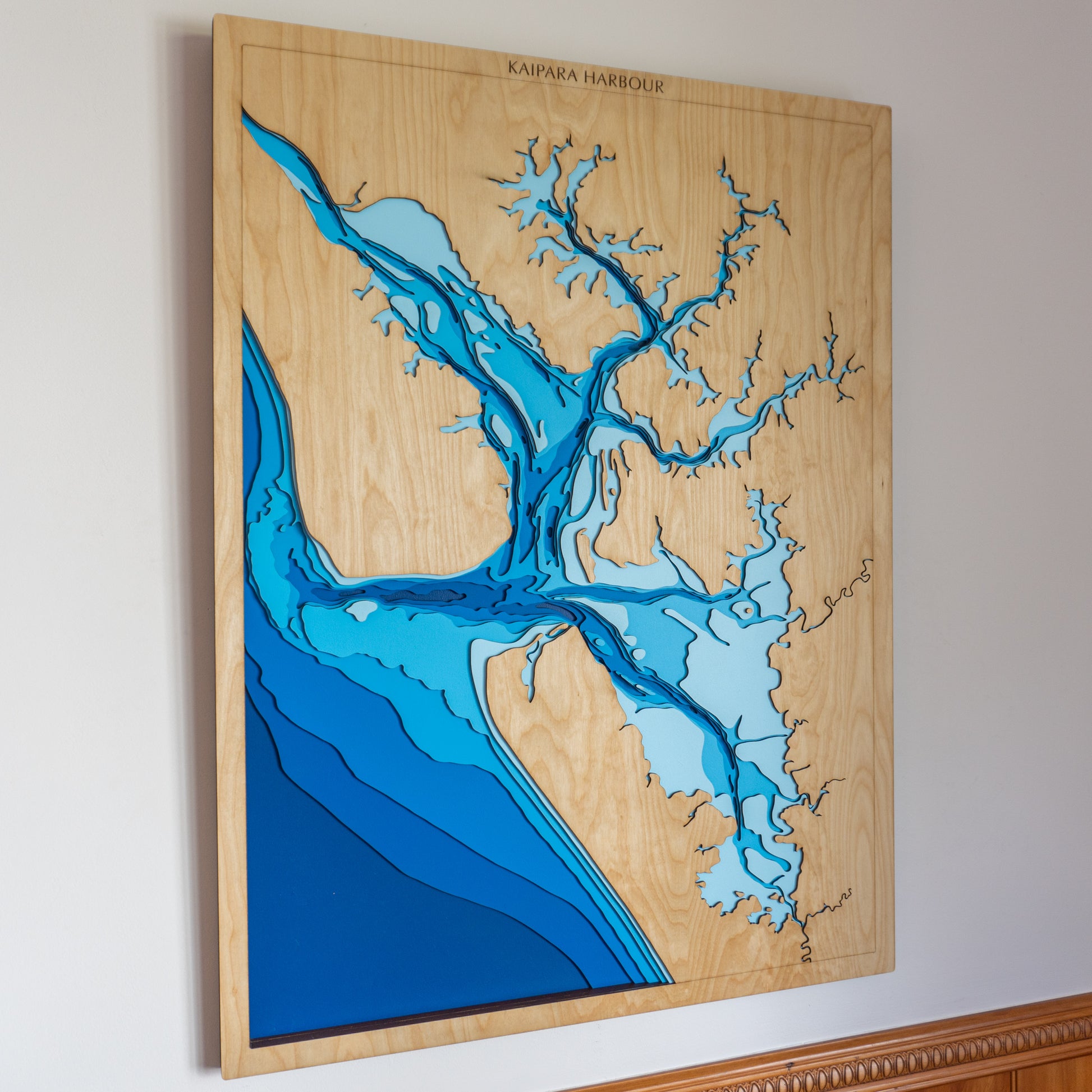
🌊 Kaipara Harbour Wooden Ocean Depth Map – A Handcrafted Tribute to One of the World’s Largest Harbours
Sprawling across nearly 1,000 square kilometres at high tide, the Kaipara Harbour is one of the largest harbours on Earth — and one of Aotearoa’s most unique coastal ecosystems. At low tide, vast mudflats and shallow channels are revealed, with much of the lightest blue layer on this map fully walkable. Deeply tied to the land and its people, the name Kaipara refers to the edible king fern (kai = food, para = king fern), highlighting the area’s cultural and natural richness.
This handcrafted wooden map showcases the harbour’s immense scale, subtle contours, and tidal flow in beautiful layered relief — perfect for locals, fishers, foragers, and lovers of Aotearoa’s wild west coast.
Made in New Zealand, each layer is laser-cut from European Birch 3-ply plywood, then hand-painted and assembled to accurately represent the harbour’s unique bathymetry and landscape.
🔍 Why People Love This Map:
-
A meaningful gift for Northland locals, ecologists, boaties, and history lovers
-
Captures the walkable mudflats and tidal dynamics of the Kaipara Harbour
-
Features depth layers from sea level to -50m in stunning detail
-
A tactile and earthy wall piece for homes, baches, or coastal cabins
-
Proudly handcrafted in NZ with sustainable materials and traditional techniques
📏 Size: Large (60 x 80 cm)
🪵 Material: European Birch 3-ply plywood
🌊 Depth Layers: Sea level, -2m, -5m, -10m, -20m, -30m, -50m
🛠️ Made to order – please allow up to 2 weeks for your handcrafted map.
✍️ Want to personalise it with a name, date, or location? Leave a note with your order and we’ll be in touch to customise it just for you.